Lorne & Otway Waterfalls cliff-road to wet forest.
A coast-and-forest day that makes the inland turn, waterfall stairs and narrow access road part of the schedule.
Choose Sheoak for the creek-side walk and picnic facilities; choose Erskine for a brief upper lookout, with the lower viewing platform as a separate 230-stair commitment. Do not select both before checking weather and daylight.
High water can make Sheoak stepping stones slippery; recent rain also affects footing. At Erskine, the first lookout is the low-commitment view, while the lower route has many stairs and slick rocks. Turn back when the surface or group’s mobility says so.
A connection to Lorne town does not solve the last mile to a forest carpark. Confirm the actual dated outbound and return legs or book a suitable transfer; otherwise keep the day in town.
Choose the stairs and road before leaving town.
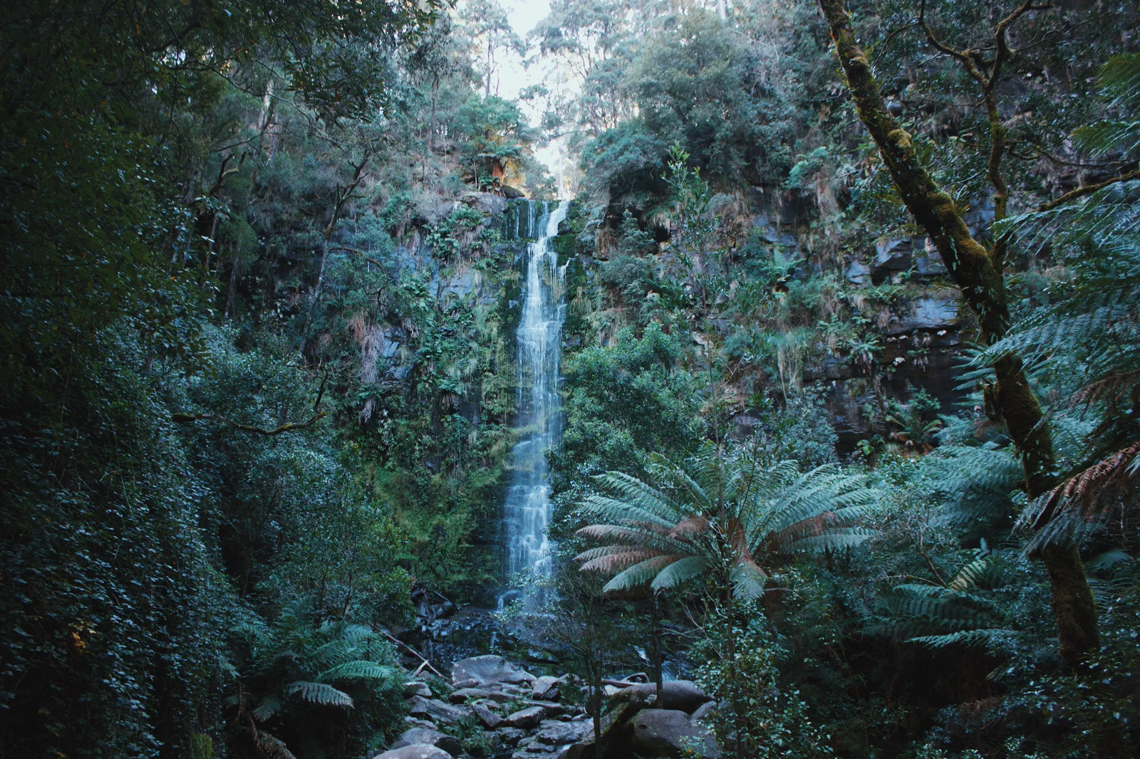
Lorne gives the coast-and-forest day a useful base, but each waterfall has its own walk, road and ground condition. Parks Victoria places Sheoak Falls about nine minutes from town and describes several nearby trails; Erskine Falls is a further drive, with a short first lookout walk and a much steeper lower platform. Pick one waterfall to match mobility, rain and remaining daylight. The retained hero photograph is Erskine Falls itself; the waterfall view does not show the stairs, the carpark approach or today’s open status.
One waterfall can fill the forest block.
The day works when the inland turn, parking bay and return are explicit. Farther Otway waterfalls belong to another base or day.
Take the open walk that matches the day’s footing.
Check the coast and forest notices
Confirm which authority manages the precise foreshore, road or waterfall, and read its current access notice. Check rain, wind, road works, fire risk, sunset and legal parking before leaving Lorne; a town weather impression does not describe a wet forest track.
Commit to a single trailhead
For Sheoak, locate the signed falls route and picnic/carpark access; when water is high, use the operator’s short carpark approach rather than the slippery creek crossing. For Erskine, make the upper lookout the default and add the lower platform only if 230 stairs suit the whole group.
Walk, then reassess
Stay on marked surfaces and use handrails. If runoff, wind, a fallen tree, crowding or a closure changes the route, turn around and use the safe viewpoint already reached. Do not create an off-track shortcut to a waterfall pool.
Return through daylight
Allow for slow bends, wildlife and parking departure. Reach Lorne with a daylight margin; if continuing west, decide in town whether the driver and road allow the next booked base, otherwise stay overnight and move the coast leg to tomorrow.
Three reasons to change the plan.
Wet rock and high creek
Stepping stones and waterfall rocks can be slippery. Use the short signed alternative where offered, or skip the crossing and return; a photo is not worth a fall.
Narrow forest access
Treefall, storms, fire, road work and limited parking can close a route independently of Lorne town. Read the managing authority’s latest notice and never block a gate, emergency access or traffic lane.
Dusk and overpacked itinerary
The farther Hopetoun/Triplet pair takes a long inland drive from Lorne. Remove it from this day rather than compressing the walk or driving tired after dark.
Access is never implied by proximity.
Keep to formed walks, steps, platforms and public lookouts. Water high enough to make stepping stones slippery is a reason to use the alternate path or turn around, not to cross faster. Do not enter the plunge pool, climb the waterfall face, trample ferns or leave litter. Roads through wet forest are shared with residents, workers and wildlife; do not stop in a live lane for a photograph and obey storm, fire, treefall and cultural-access closures.
Four related field chapters.

Torquay & Bells Beach
Start the coast with Torquay’s practical town services, a formal Bells Beach viewpoint and a deliberate choice…
Open the field guide →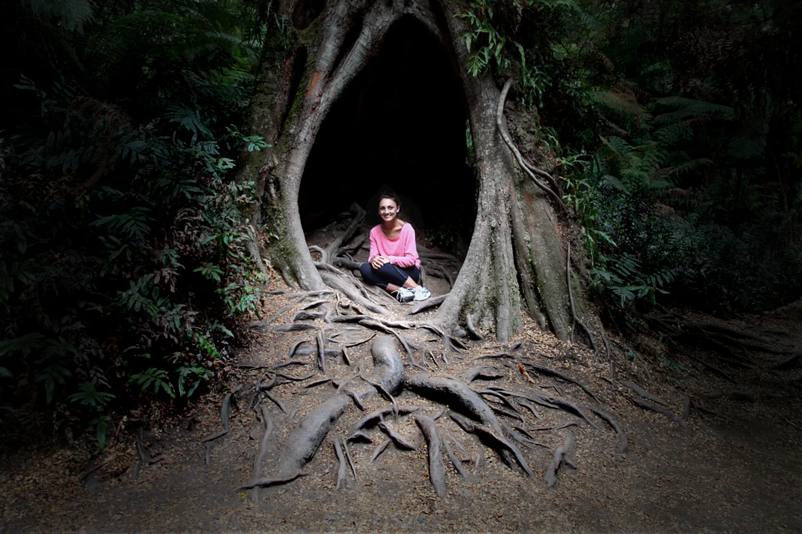
Apollo Bay & the Otways
Use Apollo Bay as a real overnight reset between the open coast and Great Otway forest, with one confirmed…
Open the field guide →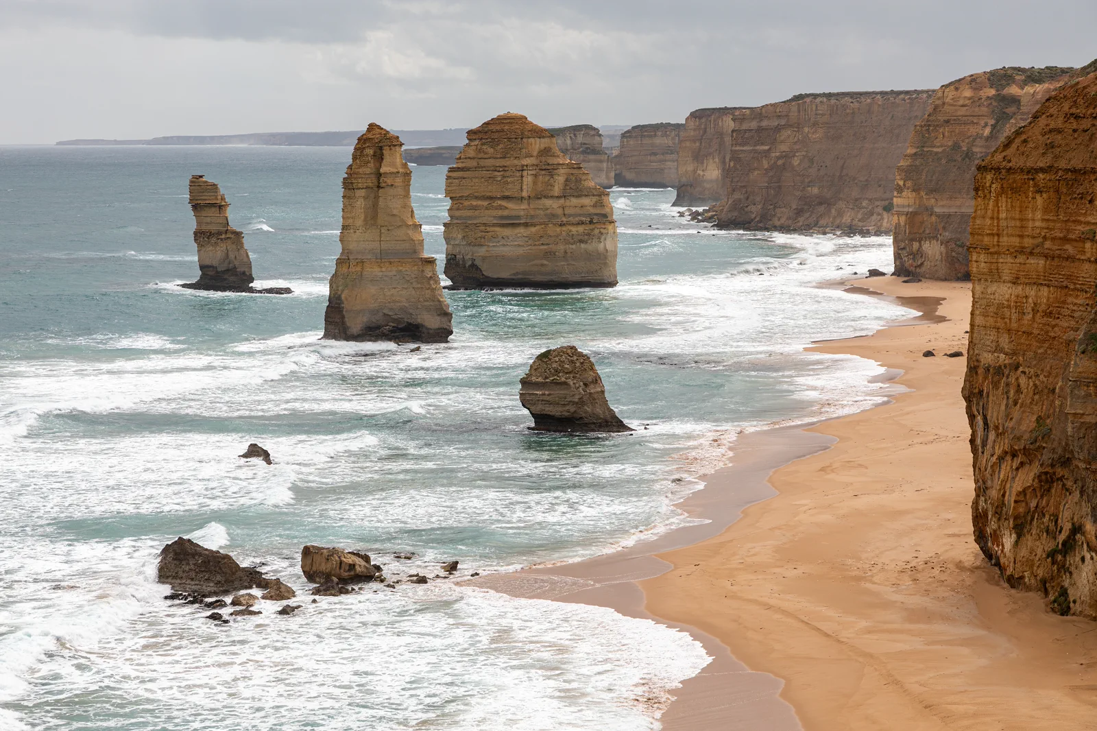
Port Campbell & Twelve Apostles
Base near Port Campbell to visit the limestone coast in daylight, choose formal viewpoints around wind and…
Open the field guide →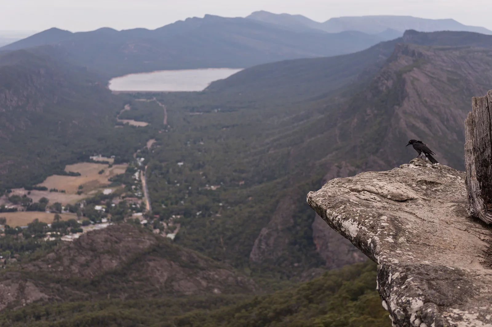
Gariwerd / Grampians
A mountain destination with its own cultural landscape, fire risk and graded walks, not a detour squeezed…
Open the field guide →Lorne & Otway Waterfalls FAQ
Is Erskine Falls wheelchair accessible?
The carpark-to-first-lookout route is short, but the lower viewing platform is reached by 230 stairs and can be slippery. Confirm current accessible-route details and choose the upper viewpoint or another confirmed site if stairs do not suit.
Can I see Sheoak and Erskine Falls in the same day?
They are a short drive apart, but the right choice depends on parking, track conditions, daylight and mobility. Choose one as the guaranteed stop and add the other only if the safe return remains comfortable.
Can I add Hopetoun and Triplet Falls after Lorne?
Parks Victoria places them about 1.5 hours from Lorne, so treat them as a separate inland day or overnight rather than a spare stop after the Lorne falls.
Official sources and photo credits
Planning facts and image licenses were reviewed on 12 October 2026. Access, weather, transport, fire, marine and operator conditions change; verify directly before travel.
- Parks Victoria — Lorne, Sheoak and Erskine waterfall access and walking guidance.
- Parks Victoria — Great Otway visitor information and current notices.
- GORCAPA — current land-manager boundary and managed areas.
- Transport Victoria — date-specific public transport planner.
- V/Line — date-specific coach and train timetable.
- VicTraffic — current road conditions.
- Bureau of Meteorology — Victorian forecasts and warnings.
- Bells Beach, Australia (Unsplash).jpg — Samantha Lynch samjaynee, CC0. Resized, display-cropped and converted to WebP; no other material edits.
- Erskine Falls.jpg — Ari Moore, CC BY-SA 4.0. Resized, display-cropped and converted to WebP; no other material edits.
- Maits Rest Rainforest Trail.jpg — Michael John Sankey, CC BY-SA 4.0. Resized, display-cropped and converted to WebP; no other material edits.
- Princetown (AU), Port Campbell National Park, Twelve Apostles -- 2019 -- 0930.jpg — Dietmar Rabich, CC BY-SA 4.0. Resized, display-cropped and converted to WebP; no other material edits.
- View over Halls Gap, Grampians, from Boroka Lookout.jpg — Peter Trenchard, CC BY-SA 4.0. Resized, display-cropped and converted to WebP; no other material edits.