Torquay & Bells Beach surf-coast departure.
Start the coast with Torquay’s practical town services, a formal Bells Beach viewpoint and a deliberate choice about whether the day ends locally or continues west.
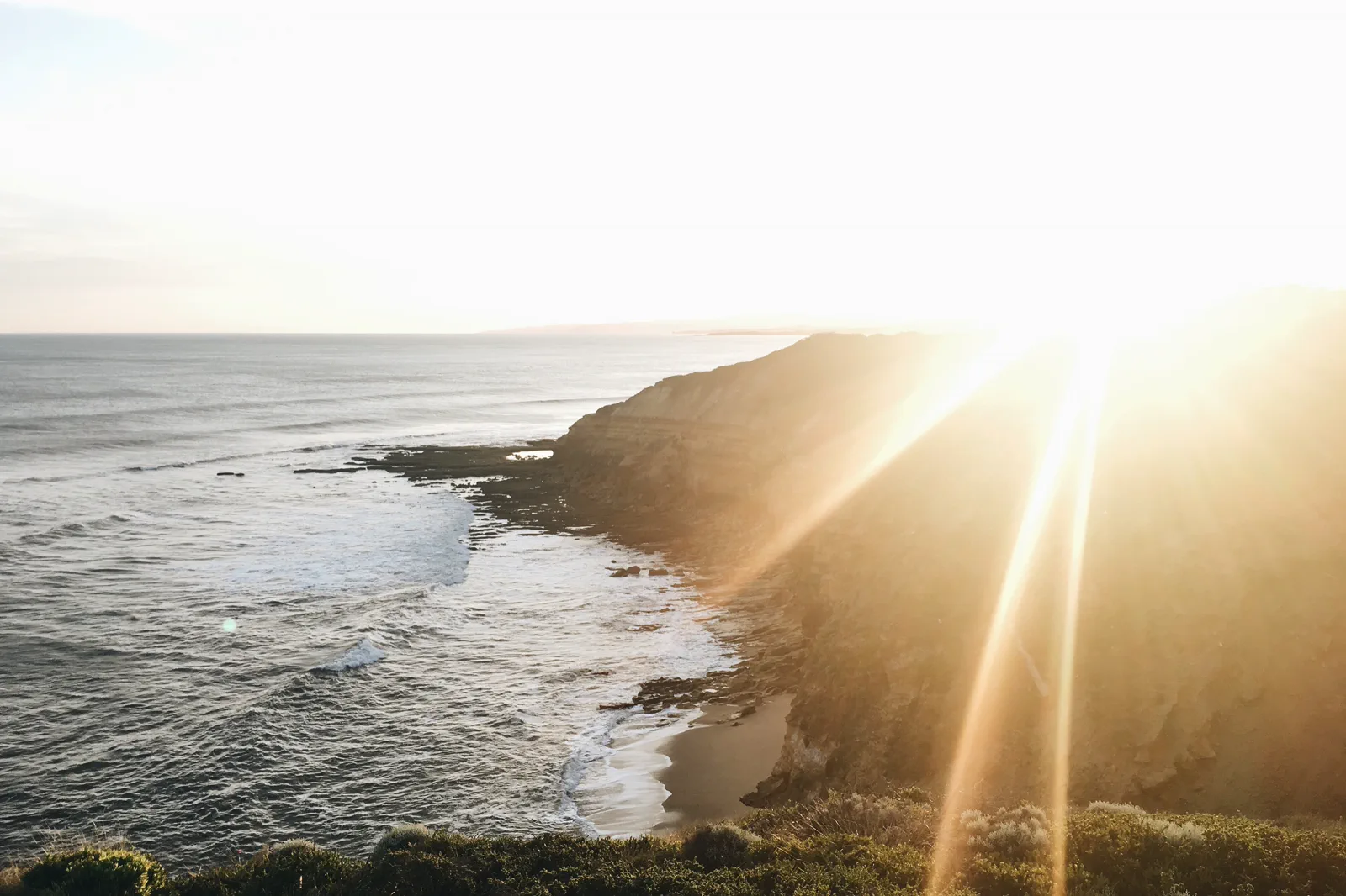
Bells is a viewing stop for most visitors. For swimming, choose a currently patrolled beach, follow its flags and local advice, and skip the water when patrols or conditions are unsuitable.
Confirm the actual transport to Bells and the return before leaving the city. A town station or bus stop is not the beach access leg; use a confirmed tour or skip the beach if that link is unresolved.
After the viewpoint, stop driving when attention or daylight is low. A Torquay night protects the next morning; the Lorne move is optional and should not be added to a tiring Melbourne departure day.
Read the surf coast as two different places.
Torquay is the practical first base for supplies, a meal and a driver reset. Bells Beach is a cliff-top surf reserve known for powerful surf and events; the lookout is a viewing stop, not a recommendation to swim or enter the break. The retained photo shows the exposed coast and surf in strong low-angle sun, so use the signed path and weather as your guide rather than judging safe conditions from the image. Choose one formal viewpoint and keep the day’s road plan honest.
A short coastal chapter with a clear stop point.
Set the departure conditions
Before leaving the urban area, settle fuel, water, food and accommodation. Check the forecast, fire notices, road status and the exact return route; if the road or driver is not ready, make Torquay the day’s endpoint.
Use Torquay for the reset
Take a meal or supply stop in town and allow time for a break. Confirm the beach access point and event restrictions before driving on; do not invent a convenient car park or assume a temporary event leaves the normal route open.
Read Bells from the signed path
Park only in the designated area, follow the signed approach and remain behind barriers. Wind, rain, crowding or a closure is a reason to shorten the stop, not to look for an informal path down the cliff.
Choose a safe finish
For swimming, use a patrolled beach and follow flags and current advice. Otherwise head to a confirmed bed in Torquay or continue west only with a rested driver and adequate daylight. Recheck the return before dinner.
Three reasons to change the plan.
Exposed cliff and wind
Strong gusts, slippery ground or a closed platform can make the viewpoint unsuitable. Stay behind barriers and use the signed town alternative.
Surf and swimming
Bells Beach is a powerful surf setting, not a general swimming recommendation. Swim only where and when patrol guidance supports it; if uncertain, stay out.
Events and road fatigue
Major surf events can change access and crowds. Do not add an evening coastal drive after a tiring departure; use a local bed or end the excursion.
Access is never implied by proximity.
Remain on signed paths behind barriers and respect event controls, lifeguard flags, surf warnings and beach closures. A beach that looks calm from a high lookout may have dangerous water conditions. Do not cross dunes or reserve boundaries, enter a competition zone, stop on the road shoulder or copy the choices of expert surfers.
Four related field chapters.
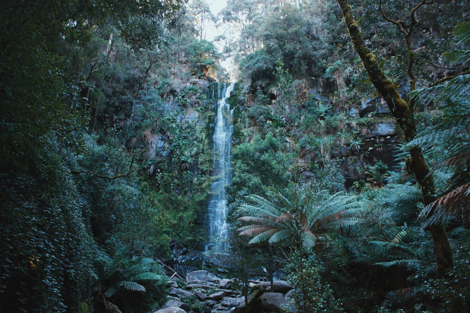
Lorne & Otway Waterfalls
A coast-and-forest day that makes the inland turn, waterfall stairs and narrow access road part of the schedule.
Open the field guide →
Apollo Bay & the Otways
Use Apollo Bay as a real overnight reset between the open coast and Great Otway forest, with one confirmed…
Open the field guide →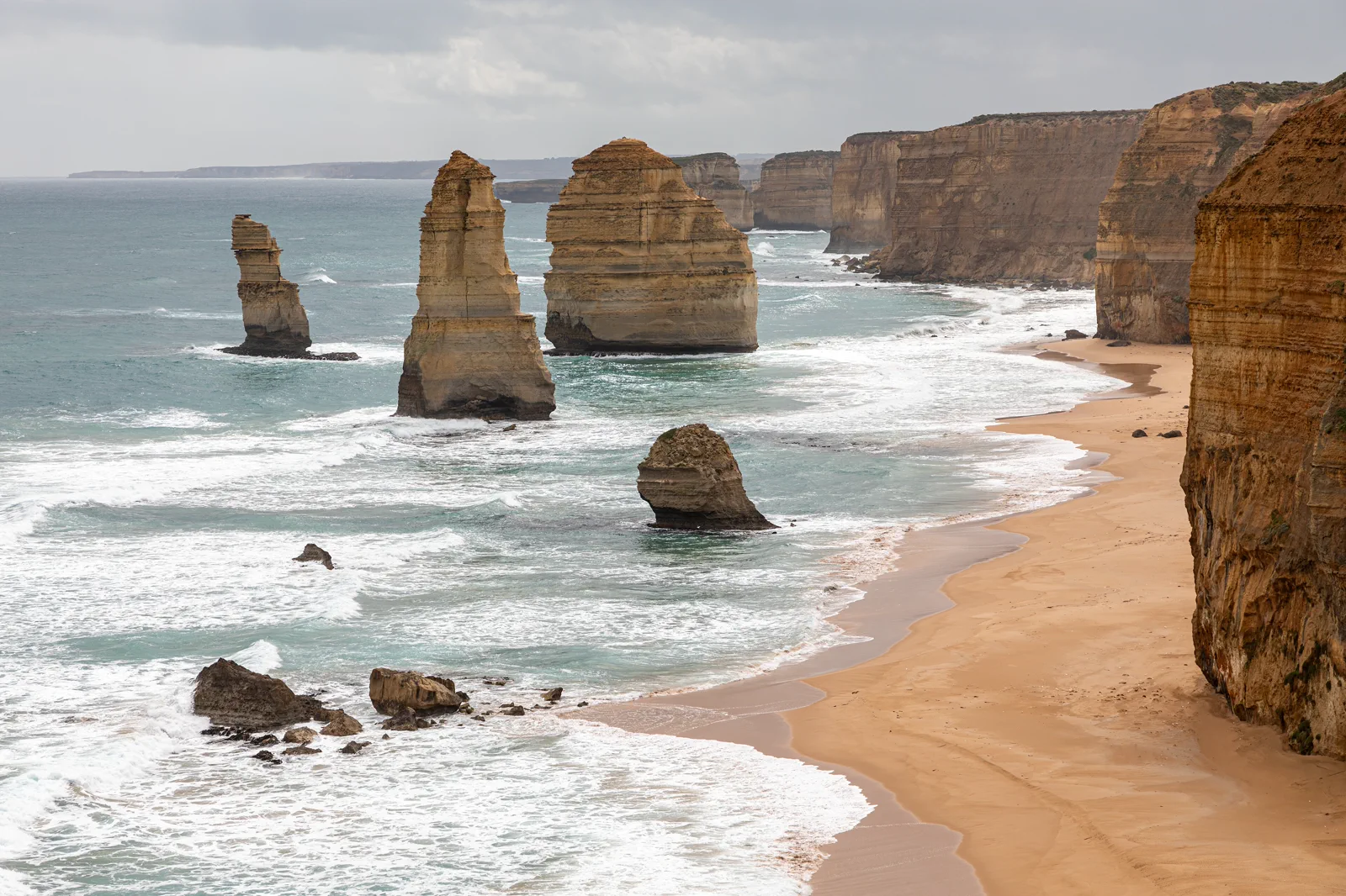
Port Campbell & Twelve Apostles
Base near Port Campbell to visit the limestone coast in daylight, choose formal viewpoints around wind and…
Open the field guide →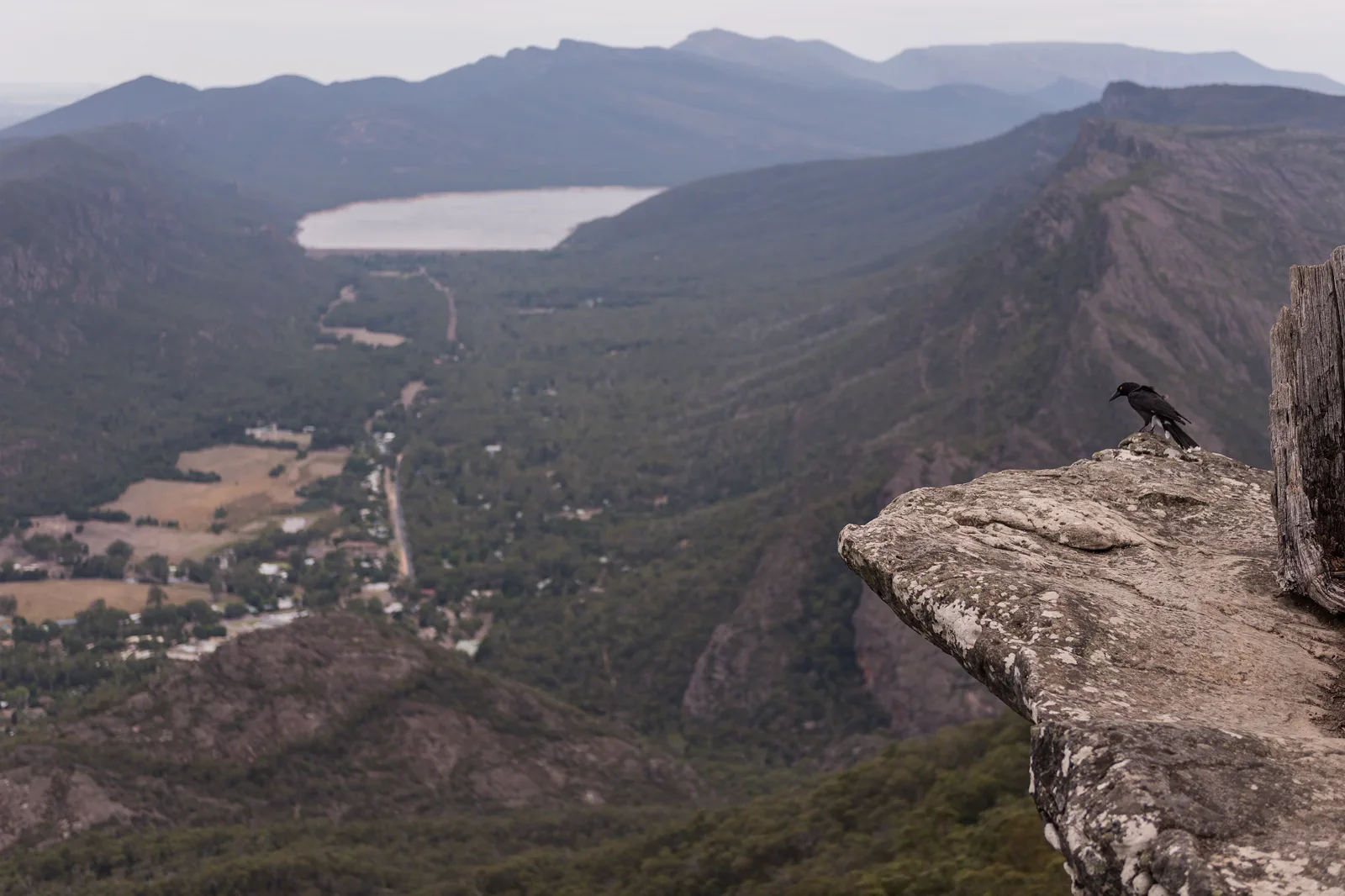
Gariwerd / Grampians
A mountain destination with its own cultural landscape, fire risk and graded walks, not a detour squeezed…
Open the field guide →Torquay & Bells Beach FAQ
Is Bells Beach suitable for swimming?
Do not infer that from the lookout or the name. Treat Bells as a surf-viewing stop; for swimming, choose a currently patrolled beach and obey its flags and advice. Stay out if conditions or patrol status are unclear.
Can I get from Torquay town to Bells Beach by public transport?
Do not assume a daily shuttle or a walkable last mile. Search the actual date and return in Transport Victoria’s planner and confirm the beach access. A confirmed tour or a town-based day is the fallback.
Should I drive on to Lorne after Bells?
Only if the driver is rested, road conditions are suitable, daylight remains and the Lorne bed is confirmed. Otherwise stay in Torquay and move west the next day.
Official sources and photo credits
Planning facts and image licenses were reviewed on 12 October 2026. Access, weather, transport, fire, marine and operator conditions change; verify directly before travel.
- Transport Victoria — regional public transport maps.
- Transport Victoria — live journey planner.
- VicTraffic — current road conditions.
- Surf Life Saving Australia — Beachsafe patrol and beach information.
- Great Ocean Road Coast and Parks Authority — coast destinations and access.
- Bells Beach, Australia (Unsplash).jpg — Samantha Lynch samjaynee, CC0. Resized, display-cropped and converted to WebP; no other material edits.
- Erskine Falls.jpg — Ari Moore, CC BY-SA 4.0. Resized, display-cropped and converted to WebP; no other material edits.
- Maits Rest Rainforest Trail.jpg — Michael John Sankey, CC BY-SA 4.0. Resized, display-cropped and converted to WebP; no other material edits.
- Princetown (AU), Port Campbell National Park, Twelve Apostles -- 2019 -- 0930.jpg — Dietmar Rabich, CC BY-SA 4.0. Resized, display-cropped and converted to WebP; no other material edits.
- View over Halls Gap, Grampians, from Boroka Lookout.jpg — Peter Trenchard, CC BY-SA 4.0. Resized, display-cropped and converted to WebP; no other material edits.