Whitehaven Beach & Hill Inlet tide-window landing.
A boat landing and short walk planned by island end and tide: Whitehaven’s beach and Hill Inlet’s Tongue Point lookout are different stops.
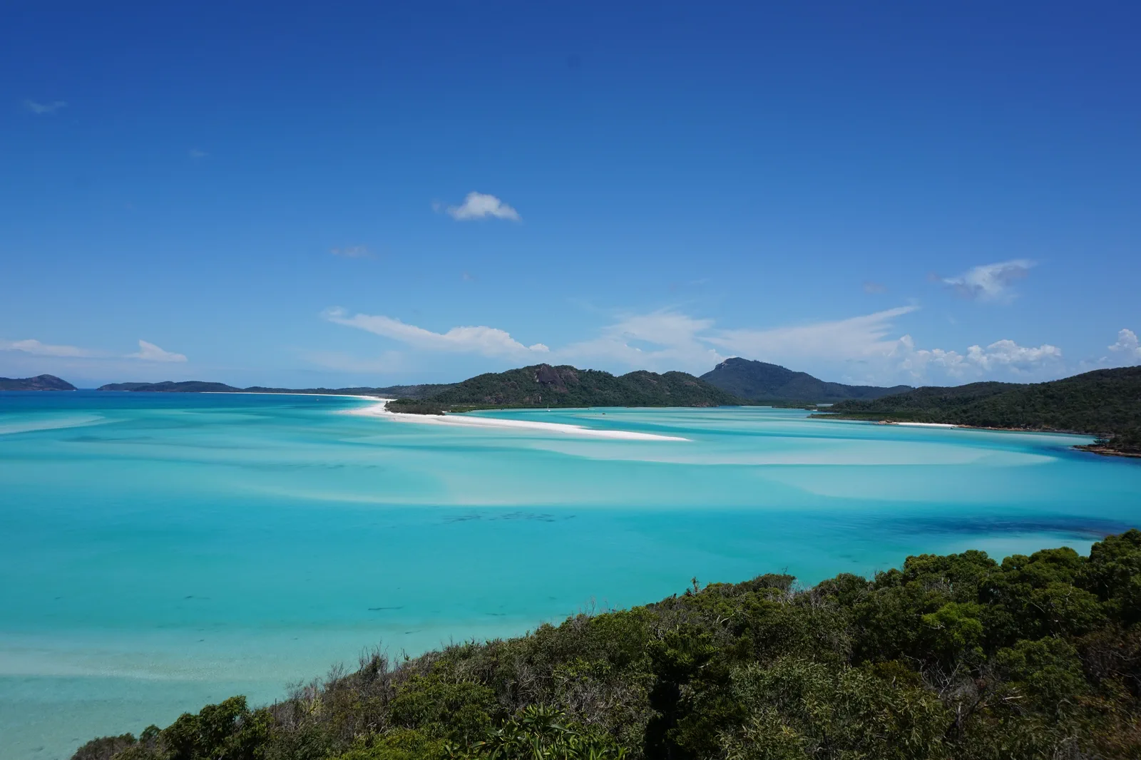
Choose an itinerary that explicitly names Hill Inlet/Tongue Point and allows the moderate 1.3 km return lookout walk (about 40 minutes). The boat approach depends on a mid-to-high tide access window and park status.
Choose a Whitehaven landing with enough time for your preferred beach stretch; do not assume it includes Hill Inlet or the lookout track.
A high-speed raft can involve a bouncy ride and wet transfer; compare with a larger vessel or a flight-only viewpoint if motion, balance or tender steps are a concern. Disclose mobility needs before booking.
The operator may alter or cancel the landing for wind, swell, tide or safety. Use the confirmed mainland town/lagoon day as the fallback; do not self-charter or cross tidal water to recover a missed viewpoint.
Make the decision before the distance.
Whitehaven Beach stretches along Whitsunday Island; Hill Inlet opens at its northern end, where the Tongue Point track looks across the inlet. Queensland Parks places the lookout track at Tongue Point and says boat access to it is possible from mid to high tide. Do not book a trip described only as “Whitehaven” if the northern lookout is your priority.
A route with an exit built in.
Select the actual island end
Compare itinerary names and map the landing: southern Whitehaven beach and northern Hill Inlet are not a single walkable stop.
Check the tide and park notice
Confirm Tongue Bay access, the lookout track and any alerts close to travel; a track page is not a live operator promise.
Land, walk, then return
Use crew transfer directions, the formed track and the planned boarding time. Keep the optional beach branch within tide and daylight.
Accept a changed itinerary
If the master changes the landing or cancels for safety, follow the operator message and choose a mainland day; do not improvise an inlet crossing.
Three reasons to change the plan.
Tide and weather
Current can be strong and water level rise quickly; access at the beach track is tide-dependent.
Landing logistics
A beach or tender landing may be wet, uneven and exposed. Ask about steps, walking distance and mobility fit before paying.
Heat and limited facilities
The island is uninhabited; bring water, sun protection and any personal essentials specified by the operator.
Access is never implied by proximity.
Hill Inlet is tidal: Queensland Parks warns currents can be strong and water can rise rapidly. Stay on formed tracks, heed barriers and crew, carry drinking water, and do not wade or swim across the inlet to chase a view. Leave sand, shells, plants and wildlife undisturbed.
Four related field chapters.
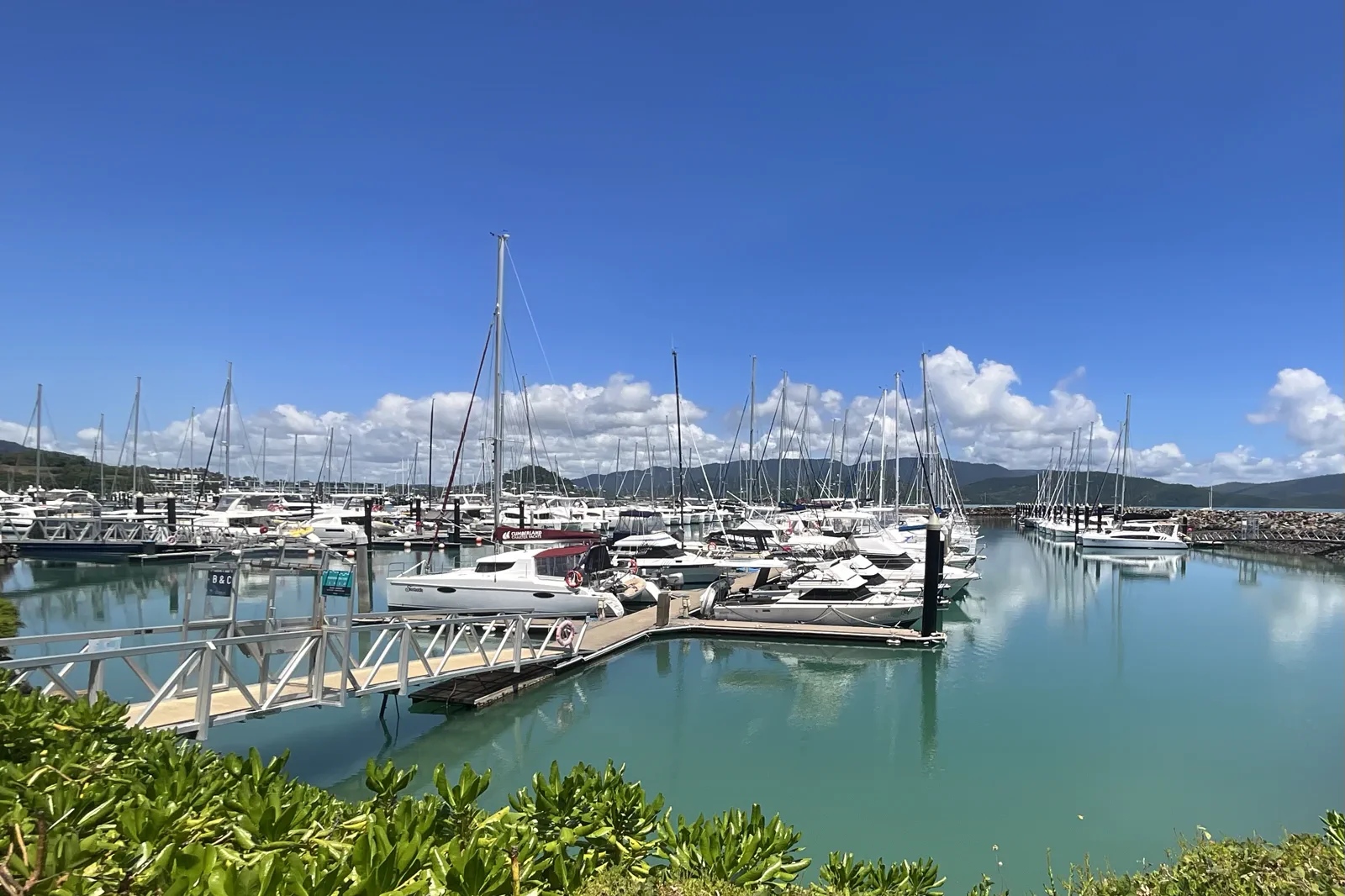
Airlie Beach & Shute Harbour
A mainland arrival plan built around three different boat nodes: Port of Airlie, Coral Sea Marina North and…
Open the field guide →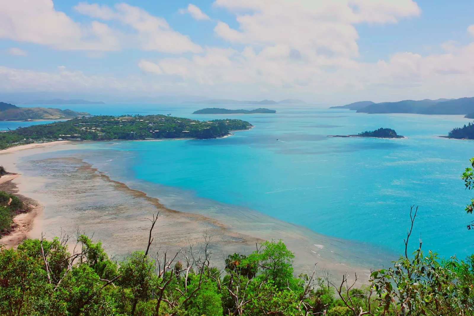
Hamilton Island
An island base planned around Great Barrier Reef Airport or Hamilton Island Marina, hotel transfer and the…
Open the field guide →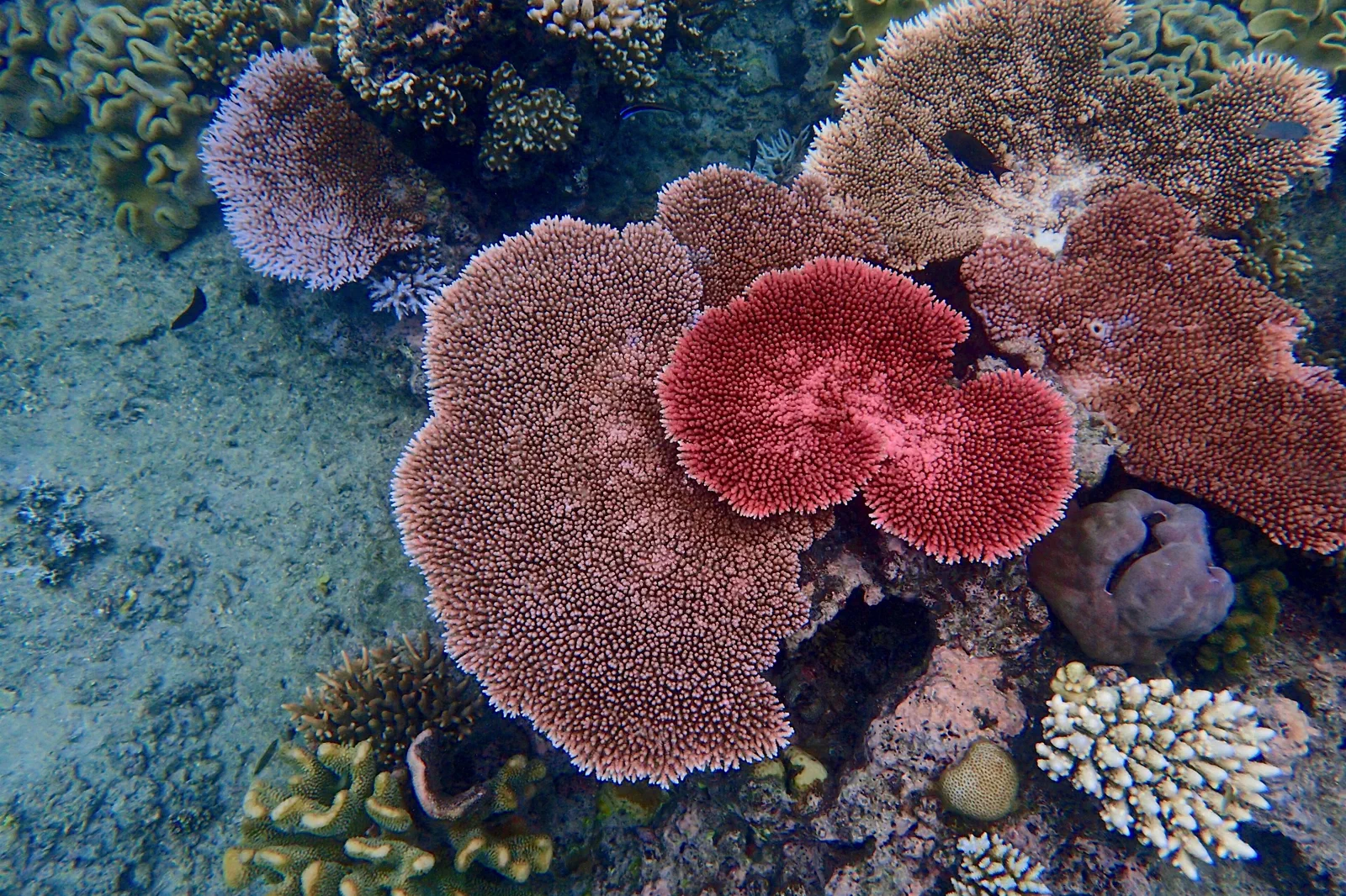
Outer Reef Day
A full-day outer-reef crossing from Port of Airlie, Daydream or Hamilton Island to Hardy Reef and a managed…
Open the field guide →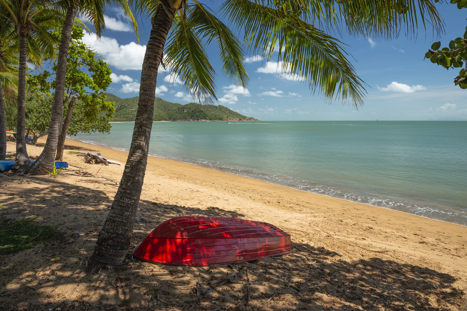
Townsville & Magnetic Island
A separate central-reef gateway linking Townsville’s terminal to Magnetic Island buses, bays and national-park…
Open the field guide →Whitehaven Beach & Hill Inlet FAQ
Does every Whitehaven trip visit Hill Inlet?
No. Hill Inlet is at Whitehaven’s northern end. Confirm Tongue Bay/Tongue Point and allow about 40 minutes for Queensland Parks’ moderate 1.3 km return lookout track.
Can I walk from the south end of Whitehaven to the lookout?
Do not plan that connection. Tongue Point is at the northern end and reached by a separate boat landing; use only the route in your confirmed itinerary.
Can I walk down to the water at Hill Inlet?
Queensland Parks says access to the Beach track is possible from mid to high tide and warns the inlet current can be strong. Follow park/crew advice and do not wade across.
Official sources and photo credits
Planning facts and image licenses were reviewed on 9 October 2026. Access, weather, transport, fire, marine and operator conditions change; verify directly before travel.
- Queensland Parks — Hill Inlet lookout track.
- Queensland Parks — Beach track and tide access.
- Queensland Parks — visiting safely.
- Cruise Whitsundays — Whitehaven itinerary and conditions.
- Ocean Rafting — Airlie check-in location.
- Coral Sea Marina, Airlie Beach.jpg — Richard N Horne, CC BY 4.0. Resized, display-cropped and converted to WebP; no other material edits.
- Whitehaven Beach - Northern End.jpg — Hush Neo, CC BY-SA 4.0. Resized, display-cropped and converted to WebP; no other material edits.
- Hamilton Island Outlook.jpg — WhiteRabbitPhotography, CC BY-SA 4.0. Resized, display-cropped and converted to WebP; no other material edits.
- Great Barrier Reef Coral.jpg — Camille Gerstenhaber, CC BY-SA 4.0. Resized, display-cropped and converted to WebP; no other material edits.
- Horseshoe Bay Beach, Magnetic Island.jpg — Joshua Tagicakibau, CC BY-SA 4.0. Resized, display-cropped and converted to WebP; no other material edits.