City River & South Bank bridge-and-ferry loop.
Walk Brisbane’s CBD, South Bank and one river crossing as a half-day or relaxed city day, choosing one cultural interior and a checked CityCat or rail return.
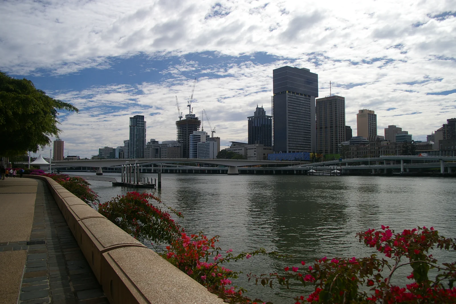
Cross once with a destination on each bank.
Allow about four to six hours for a compact day, before adding long exhibition time. Begin at South Brisbane station if QAGOMA anchors the visit, or on the CBD side if the City Botanic Gardens and a river crossing lead. Walk the signed public riverside path, choose one cultural interior, and decide whether a CityCat leg adds a useful connection. Finish at a station or wharf you have already checked; the river bends make the nearest-looking exit a poor substitute for a planned return.
A bank-to-bank route with a checked way home.
Use the sequence as a framework, not an instruction to visit every venue. The city’s public river edge, cultural institutions and commuter terminals have separate opening and access conditions.
Set the arrival and return bank
Use South Brisbane station for a South Bank start, or begin near the CBD if the City Botanic Gardens come first. Before walking, identify the station entrance or ferry terminal for the return and check any lift or service notices.
Give the cultural precinct a real block
At QAGOMA, choose one gallery or current exhibition rather than treating two museums as a quick stop. Confirm entry, hours and accessibility on its visitor page. In good weather, take a riverfront pause; in heat or rain, extend the indoor visit and shorten the exposed walk.
Walk one bridge or ride one CityCat
Goodwill Bridge links the South Bank area with the Gardens Point side for a pedestrian crossing. A CityCat is an alternative public-transport segment only when its route and terminal fit the plan; check the current boarding point, direction and alerts before leaving the bank.
Finish near the rail or busway return
Choose a public path back toward the planned station or busway, or alight at a verified river terminal. Do not add West End, a second gallery and an island ferry to this day. If an event or closure breaks the crossing, return on the same bank and keep the visit complete.
A CityCat trip is public transport rather than a reserved attraction; this plan makes no claim about a particular departure, fare or service interval.
Three reasons to shorten or redirect the loop.
Heat, rain or storm activity
Check the Bureau of Meteorology forecast and warnings for the date. Use one verified indoor anchor, take the shortest public connection and skip a long waterside segment when lightning, heat or heavy rain makes exposure unwise.
Service, event or path change
Check CityCat notices, planned event information and current path closures before setting out. If the river terminal or boardwalk is closed, follow signed diversions and use rail or bus; never cross a barrier to preserve the diagrammed route.
Access or time exceeds the day
One gallery can fill the afternoon. If the chosen venue has an access constraint or the group tires, stay on the nearer bank, use a confirmed station exit and leave the second precinct for another day.
Use open paths as working civic space.
Brisbane’s river is both a public edge and a transport corridor. Follow current cultural interpretation, keep ferry boarding areas clear, respect riverwalk closures and leave active public, residential and event spaces as signed.
Four related field chapters.
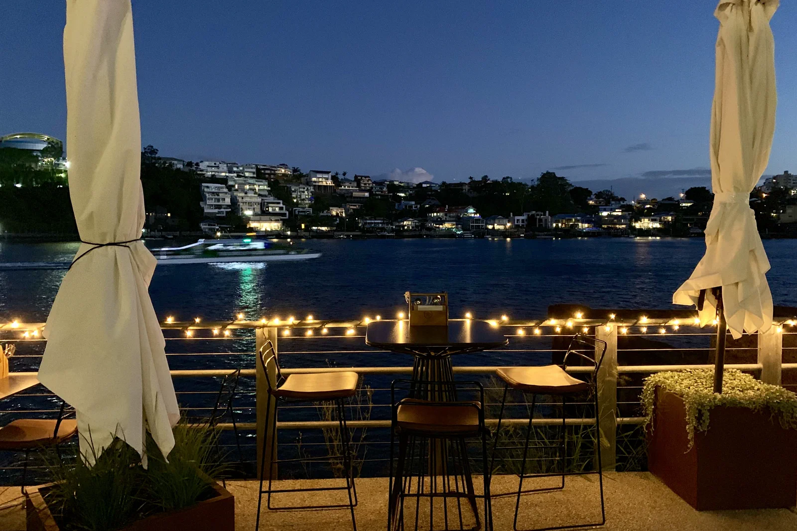
New Farm & Fortitude Valley
A neighborhood chapter moving from river park and arts space into the Valley’s evening economy with a…
Open the field guide →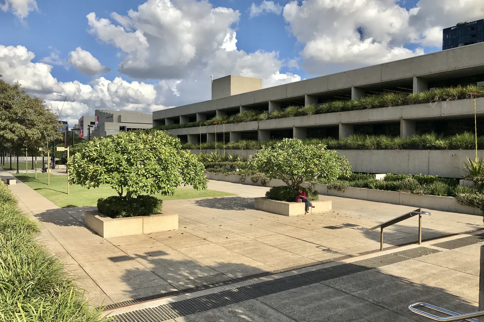
West End & Cultural Precinct
A culture-and-food route joining major institutions with West End while keeping exhibition time, market…
Open the field guide →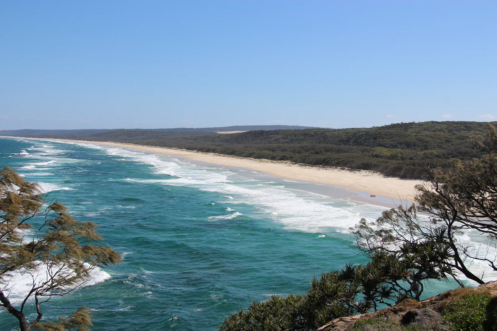
Minjerribah / North Stradbroke Island
An island route that names mainland terminal, passenger or vehicle ferry, island bus and Quandamooka Country…
Open the field guide →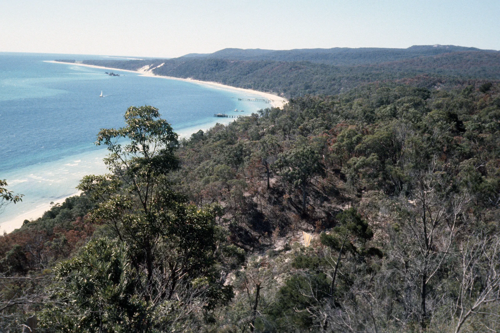
Mulgumpin / Moreton Island
A sand-island expedition requiring a named ferry or licensed tour, capable vehicle planning, camping controls…
Open the field guide →City River & South Bank FAQ
How much time should I allow?
Allow about four to six hours for one bank-to-bank route, one cultural interior and pauses; add more time for a full exhibition or a slower pace. Transit, venue hours and event conditions can extend the day.
Which side should I start on?
Start from the CBD if the City Botanic Gardens and a single South Bank crossing are your priorities. Start at South Brisbane station if QAGOMA or the riverside precinct is the main anchor. In either case, name the return station or wharf first.
Should I take a CityCat?
Use one CityCat segment only when its current route and terminal fit the loop. CityCats are public transport with their own service notices, not a guaranteed sightseeing cruise; walking or rail is the fallback.
What is the weather alternative?
During heat or storms, choose one indoor gallery or museum after checking its current visit details, shorten the riverside walk and finish at a confirmed rail or busway node. Never cross a closure barrier.
Official sources and photo credits
Route and access facts were checked on 12 October 2026. Photo source pages and displayed license credits are documented separately from route research; this is not an independent rights clearance. Access, weather, transport, fire, marine and operator conditions change; verify directly before travel.
- Tourism Australia — Brisbane.
- Brisbane Economic Development Agency — visitor guide.
- Brisbane City Council — CityCats and ferry terminals.
- QAGOMA — current visitor information.
- Bureau of Meteorology — Brisbane forecast.
- Translink Queensland — service planning and alerts.
- Queensland Parks — Minjerribah protected areas.
- Queensland Parks — Gheebulum Kunungai (Moreton Island).
- Brisbane River and skyline from South Bank Brisbane IMGP6207.jpg — John Robert McPherson, CC BY-SA 4.0. Resized, display-cropped and converted to WebP; no other material edits.
- Norman Park seen across Brisbane River from New Farm, Queensland.jpg — Kgbo, CC BY-SA 4.0. Resized, display-cropped and converted to WebP; no other material edits.
- Queensland Art Gallery, Brisbane river facade.jpg — Kgbo, CC BY-SA 4.0. Resized, display-cropped and converted to WebP; no other material edits.
- View of Main Beach from Point Lookout (North Stradbroke Island).JPG — S. Newrick, CC BY-SA 4.0. Resized, display-cropped and converted to WebP; no other material edits.
- Tangalooma beach, Mulgumpin, (Moreton Island) mid-1970s QUT-484.jpg — Iraphne R. Childs, CC BY 4.0. Resized, display-cropped and converted to WebP; no other material edits.