Mulgumpin / Moreton Island sand-island expedition.
Choose a permitted 4WD ferry and overnight base on Mulgumpin, or a separately booked passenger-only resort or guided trip; check tides, access, camping and weather.
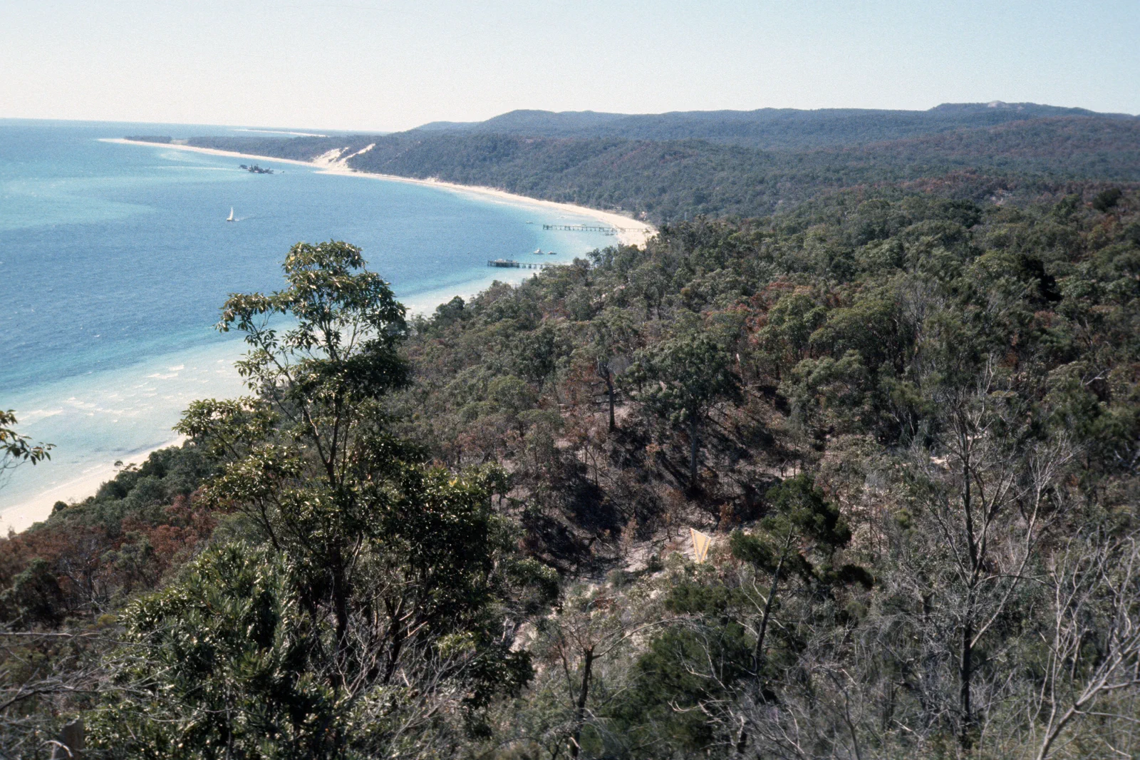
Choose between the park crossing and the resort ferry.
Mulgumpin is not a casual extension of the Brisbane waterfront. A self-drive park visit needs a booked vehicle ferry, suitable 4WD, required permits, tide and access checks, and enough time for sand roads. A passenger catamaran to Tangalooma Resort is a different landing and holiday product; it does not provide independent park-track access. For a self-drive route, two nights give one island day and a weather or return margin. Without a 4WD setup, book a guided trip or the resort’s own passenger itinerary and follow its limits.
Manifest, landing and tide define the route.
Use this sequence for a booked park-oriented 4WD trip. For the passenger-only Tangalooma product, follow the resort itinerary and do not transfer these park-road steps to it.
Complete the vehicle and permit plan
Reserve the correct vehicle ferry and campsite or accommodation. Check Queensland Parks driving and camping permits, vehicle suitability and recovery equipment against the official guidance. Carry water, fuel, communications and supplies for a remote island day.
Use the exact landing instructions
Follow the ferry operator’s check-in and landing directions; do not assume all services use the same wharf or beach. At arrival, read the current park condition report and signs, confirm the legal route and tide window, and abandon a track that is closed or unsafe.
Keep the first outing close to the feasible corridor
Pick one permitted beach or inland objective that fits the day’s tide, vehicle, passenger skill and return requirements. For an overnight park stay, reserve camping separately and follow all fire and waste instructions. A guided tour is the alternative when equipment or experience is missing.
Turn back before tide or time removes the margin
Retain a return buffer for soft sand, traffic, ferry loading and changing weather. No recovery or mobile signal is assured everywhere. If access, vehicle behavior or visibility changes, stop at a safe legal place and use the operator or emergency instructions.
The resort ferry from Holt Street is passenger-only and lands at Tangalooma; it is a separate visit. Confirm resort access and activities directly rather than treating them as park ferry or public road access.
Three conditions that cancel a sand-island plan.
Vehicle or driver is not ready
Do not take a standard road vehicle onto soft sand. Confirm the exact vehicle guidance and driver capability; if either is missing, change to a guided activity or resort visit.
Tide, weather or track changes
Use the current Queensland Parks access report and marine forecast. High tide, rain, wind, fire conditions or a closure can remove a route; never rely on an old map or an assumed return crossing.
Camping, fuel or communications fall short
Secure camping permits and bookings before arrival, carry the supplies the route requires, and tell someone the plan. Do not assume water, fuel, medical help or mobile coverage will be available at the next stop.
Use only designated access.
Mulgumpin is Quandamooka Country. Keep vehicles on permitted routes, respect camping and cultural guidance, protect dunes and wildlife, and leave closed or sensitive areas undisturbed.
Four related field chapters.
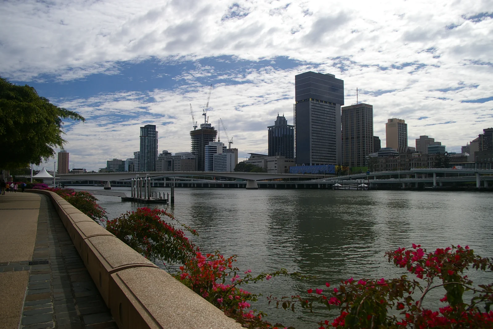
City River & South Bank
A central Brisbane loop that alternates shaded cultural interiors, river crossings and ferry segments instead…
Open the field guide →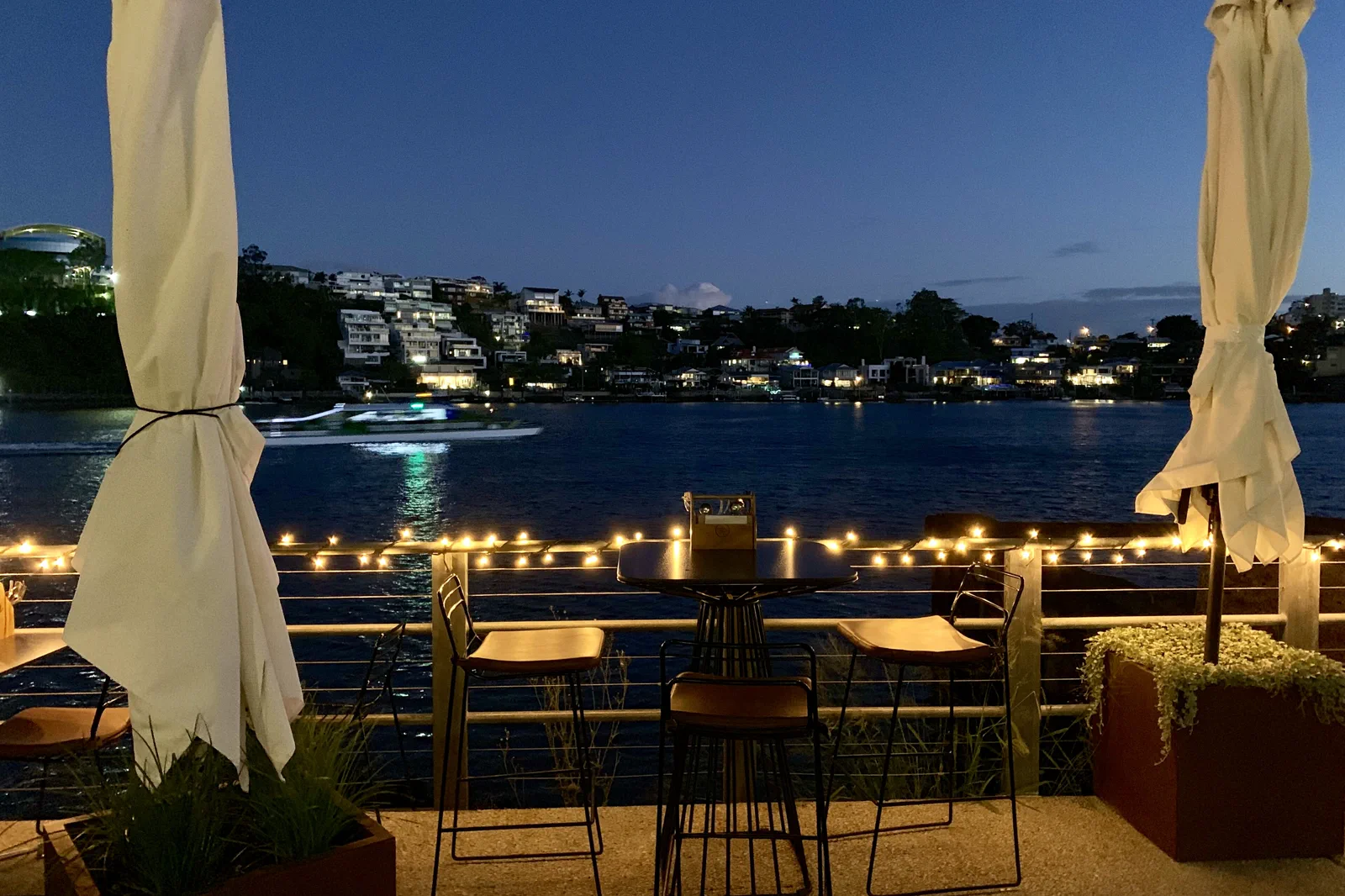
New Farm & Fortitude Valley
A neighborhood chapter moving from river park and arts space into the Valley’s evening economy with a…
Open the field guide →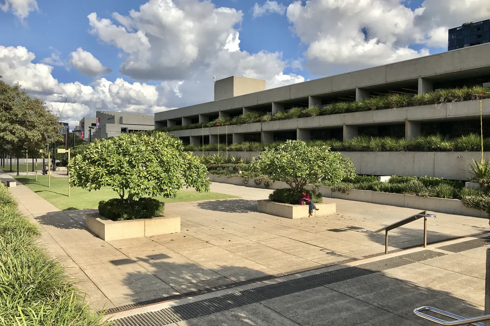
West End & Cultural Precinct
A culture-and-food route joining major institutions with West End while keeping exhibition time, market…
Open the field guide →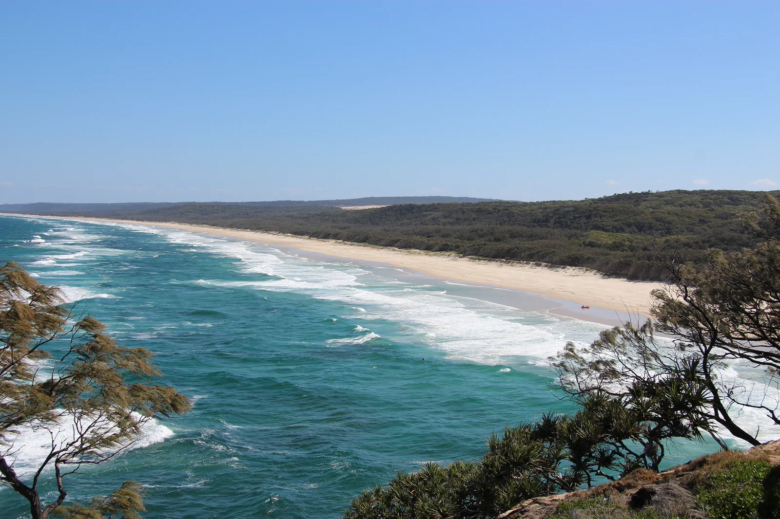
Minjerribah / North Stradbroke Island
An island route that names mainland terminal, passenger or vehicle ferry, island bus and Quandamooka Country…
Open the field guide →Mulgumpin / Moreton Island FAQ
Can I explore Mulgumpin without a 4WD?
A private park-road itinerary requires an appropriate vehicle, permit and driver prepared for sand conditions. Without that setup, choose a booked guided trip or the separate passenger ferry to Tangalooma Resort; do not assume the resort ferry provides park access.
How many nights make the trip worthwhile?
Two nights give a self-drive itinerary room for the crossing, one focused island day and a weather or return margin. A day visit can suit a single operator-led activity when its exact landing, transfers and return are confirmed.
Where should I stay?
Match a prebooked campground or accommodation to the ferry landing and the one activity you intend to do. A resort stay is a different product and location from a park camping or 4WD itinerary.
What must be checked before the crossing?
Verify vehicle suitability and permits, ferry loading and landing instructions, camping reservations, current park access reports, tides, beach and fire conditions, communications and marine weather. Turn back when access or conditions do not match the plan.
Official sources and photo credits
Route and access facts were checked on 12 October 2026. Photo source pages and displayed license credits are documented separately from route research; this is not an independent rights clearance. Access, weather, transport, fire, marine and operator conditions change; verify directly before travel.
- Tourism Australia — Brisbane.
- Brisbane Economic Development Agency — visitor guide.
- Translink Queensland — service planning and alerts.
- Queensland Parks — Minjerribah protected areas.
- Moreton Island Adventures — MICAT vehicle ferry information.
- Tangalooma Island Resort — passenger ferry and resort landing.
- Queensland Parks — current park alerts.
- Bureau of Meteorology — marine forecasts and warnings.
- Queensland Parks — Gheebulum Kunungai (Moreton Island).
- Brisbane River and skyline from South Bank Brisbane IMGP6207.jpg — John Robert McPherson, CC BY-SA 4.0. Resized, display-cropped and converted to WebP; no other material edits.
- Norman Park seen across Brisbane River from New Farm, Queensland.jpg — Kgbo, CC BY-SA 4.0. Resized, display-cropped and converted to WebP; no other material edits.
- Queensland Art Gallery, Brisbane river facade.jpg — Kgbo, CC BY-SA 4.0. Resized, display-cropped and converted to WebP; no other material edits.
- View of Main Beach from Point Lookout (North Stradbroke Island).JPG — S. Newrick, CC BY-SA 4.0. Resized, display-cropped and converted to WebP; no other material edits.
- Tangalooma beach, Mulgumpin, (Moreton Island) mid-1970s QUT-484.jpg — Iraphne R. Childs, CC BY 4.0. Resized, display-cropped and converted to WebP; no other material edits.