Minjerribah / North Stradbroke Island island ferry and headland day.
Plan Minjerribah from Cleveland to Dunwich, then check an island bus to Point Lookout. Set ferry, nights, Quandamooka Country and weather before departure.
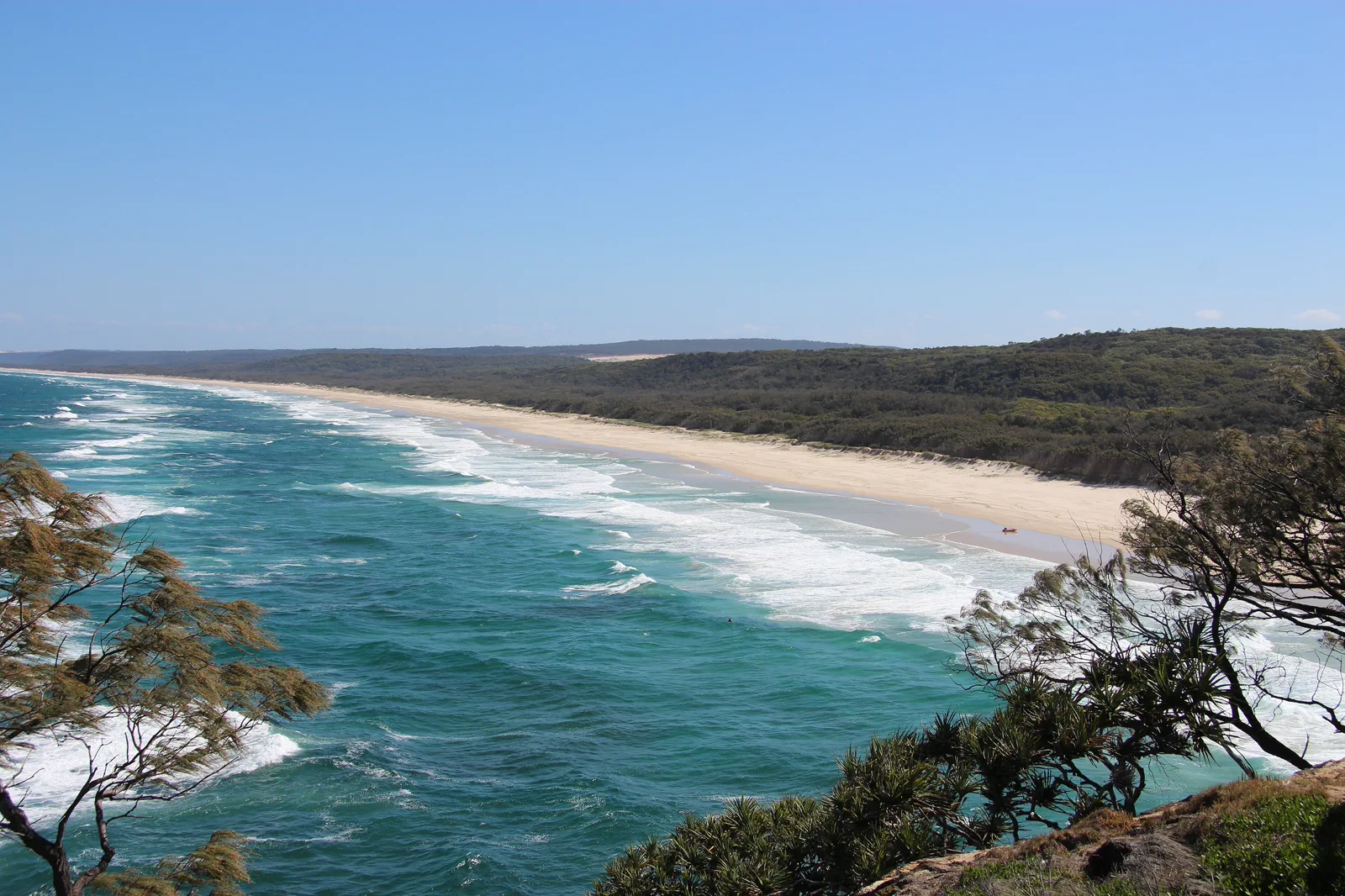
Choose the ferry type before choosing the beach.
From Brisbane, the first decision is the Cleveland terminal and whether you need a passenger-only or vehicle ferry. Both bring visitors to Dunwich, but a walk-on day depends on a separate island-bus timetable; carrying a car changes the booking, queue and park-road choices. For a relaxed visit, plan two nights at Dunwich or Point Lookout. A one-day outing is only realistic when the ferry and bus connections leave time for one headland or beach, plus a protected return.
Dunwich landing, one headland, one booked return.
Build the plan around the particular ferry and island bus on your date. No sample here guarantees a departure, fare or transfer connection.
Book Cleveland and the right ferry
Use the operator’s current directions for its Cleveland terminal. Confirm passenger or vehicle space, check-in guidance, the island arrival point and the return sailing. For a walk-on plan, open the island-bus timetable beside the ferry schedule before paying for either leg.
Meet the bus at Dunwich
Check the local operator’s current route, stop and service day from the ferry terminal toward Point Lookout. Carry the return plan with you. If no bus sequence safely fits the ferry window, take a shorter Dunwich-area day or move the visit to an overnight stay.
Choose Gorge Walk or beach, not both by default
Follow signed access to the open public headland walk and check Queensland Parks notices before leaving. Add a beach only where access, surf conditions and patrol information suit the group; an exposed lookout can be the complete visit when wind or heat rises.
Reach Dunwich before the chosen sailing
Allow for the bus ride back, boarding rules and a service disruption. If the last feasible connection is uncertain, stay overnight rather than depending on an unverified taxi, an extra ferry or a tight change across operators.
A two-night stay can place the travel legs on separate days and leave one full island day; a one-night stay is useful only when its booking and ferry dates actually fit.
Three reasons to switch to the shorter plan.
Ferry and bus do not connect
Ferry and island-bus schedules can differ by date and operator. Check both directions before travel; if the return chain is tight, add a night or keep the visit near the landing.
Coastal weather, surf or closure
Use Queensland Parks notices, Bureau of Meteorology warnings and current local beach information. Skip an exposed walk or swimming when wind, surf, heat, rain or a closure changes the risk.
Vehicle or public access is restricted
A vehicle ticket is not permission to drive every beach or track. Follow local signs and park rules, stay off dunes, and do not enter a cultural or restricted area because it looks reachable.
Follow the invitation and the boundary.
Recognize Minjerribah as living Quandamooka Country. Use public cultural interpretation and authorized visitor experiences as offered, care for wildlife and beaches, and respect community guidance, residential places and closures.
Four related field chapters.
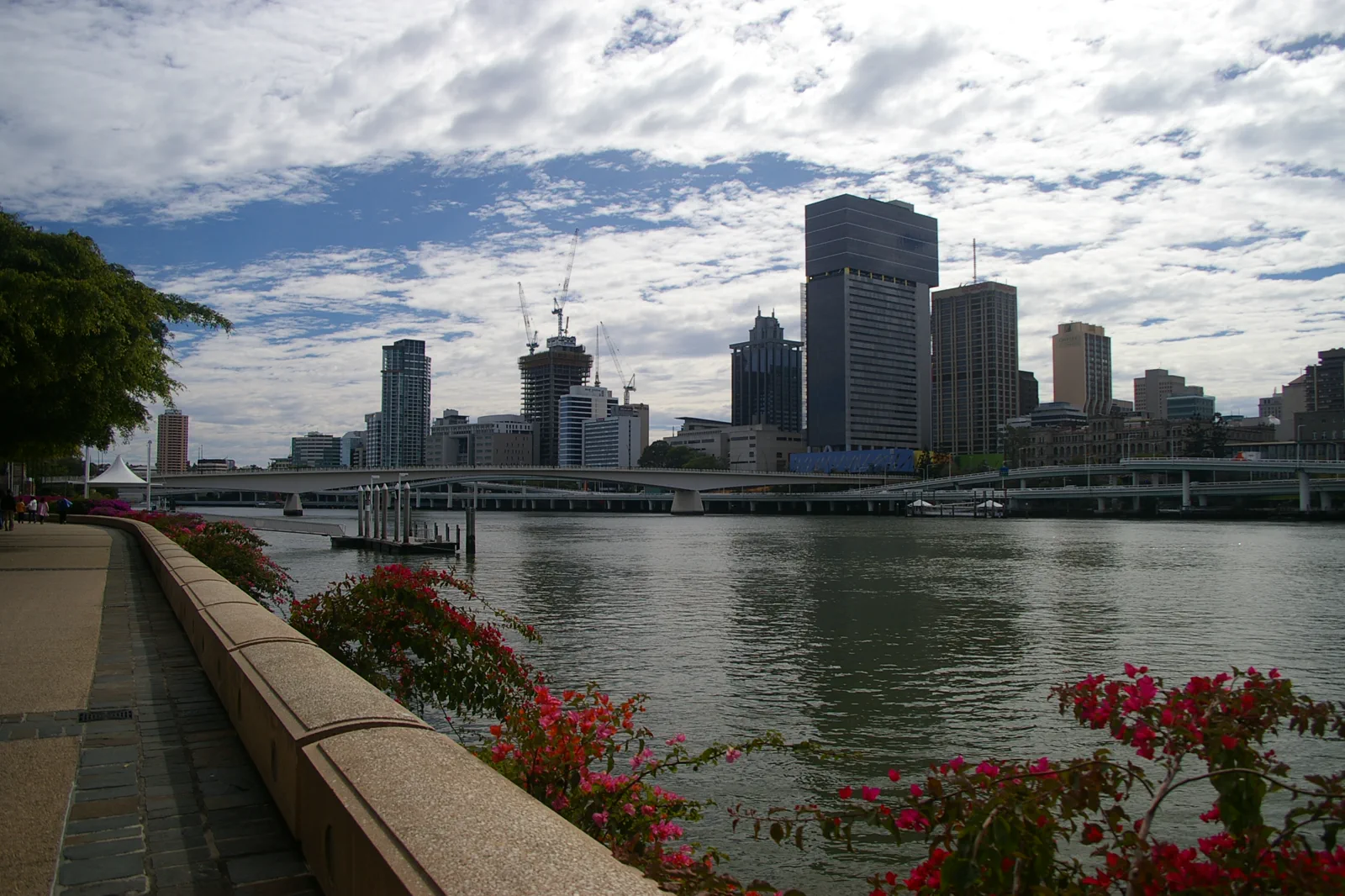
City River & South Bank
A central Brisbane loop that alternates shaded cultural interiors, river crossings and ferry segments instead…
Open the field guide →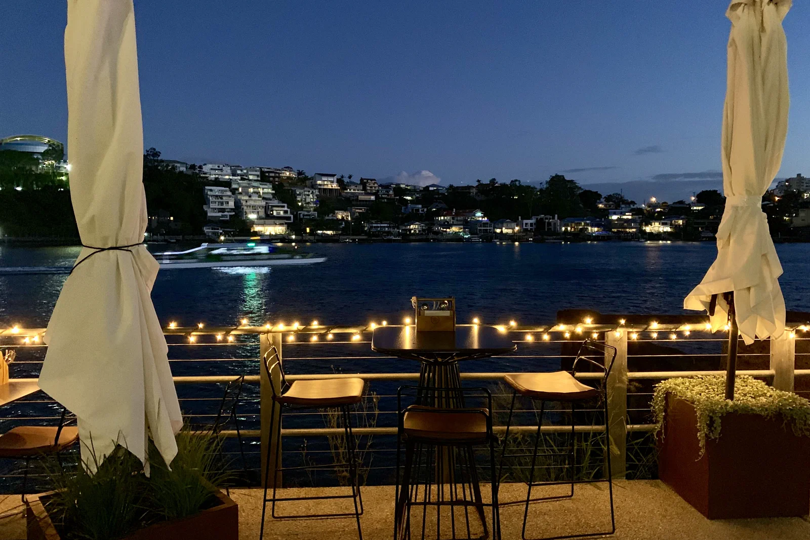
New Farm & Fortitude Valley
A neighborhood chapter moving from river park and arts space into the Valley’s evening economy with a…
Open the field guide →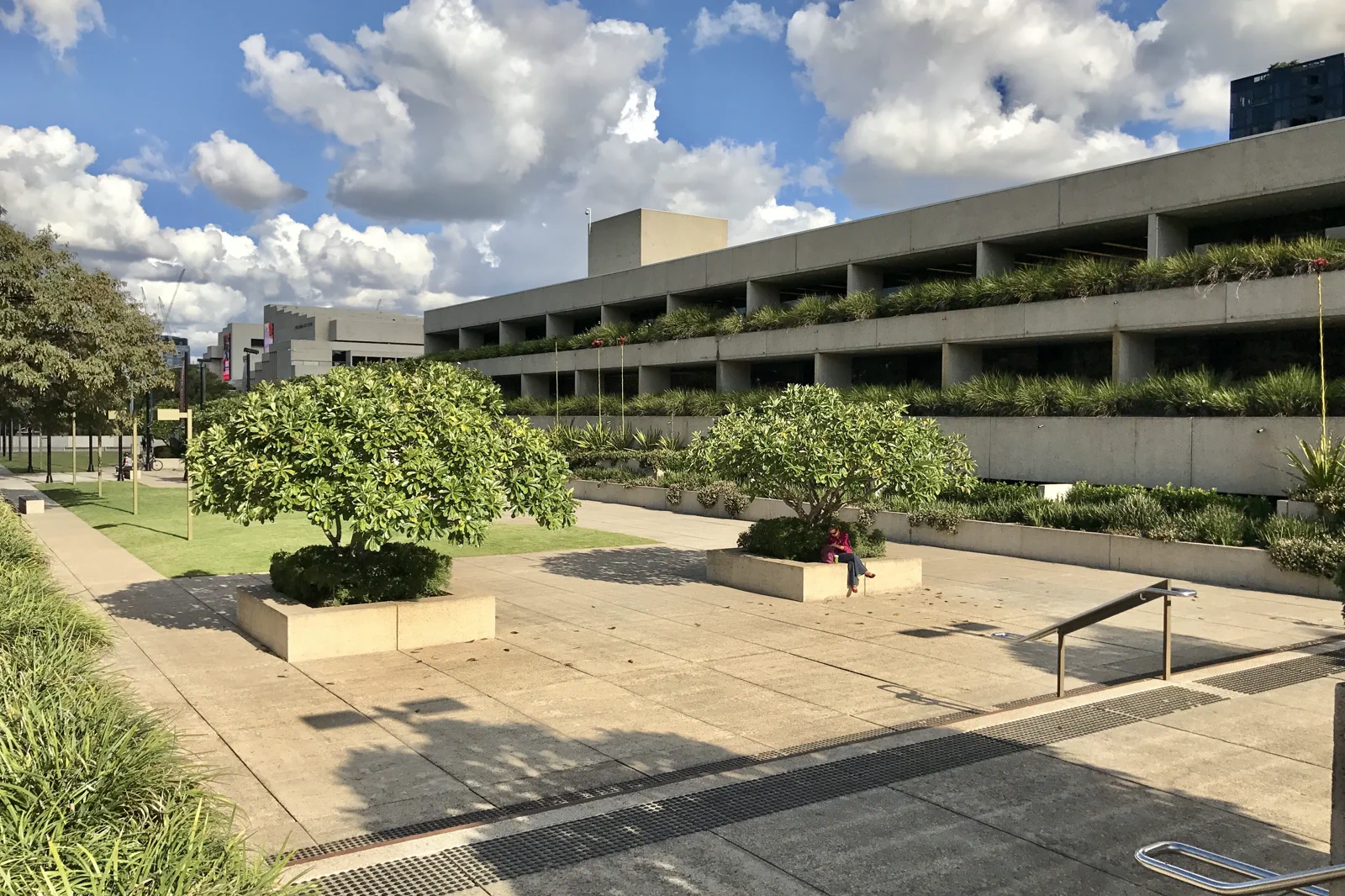
West End & Cultural Precinct
A culture-and-food route joining major institutions with West End while keeping exhibition time, market…
Open the field guide →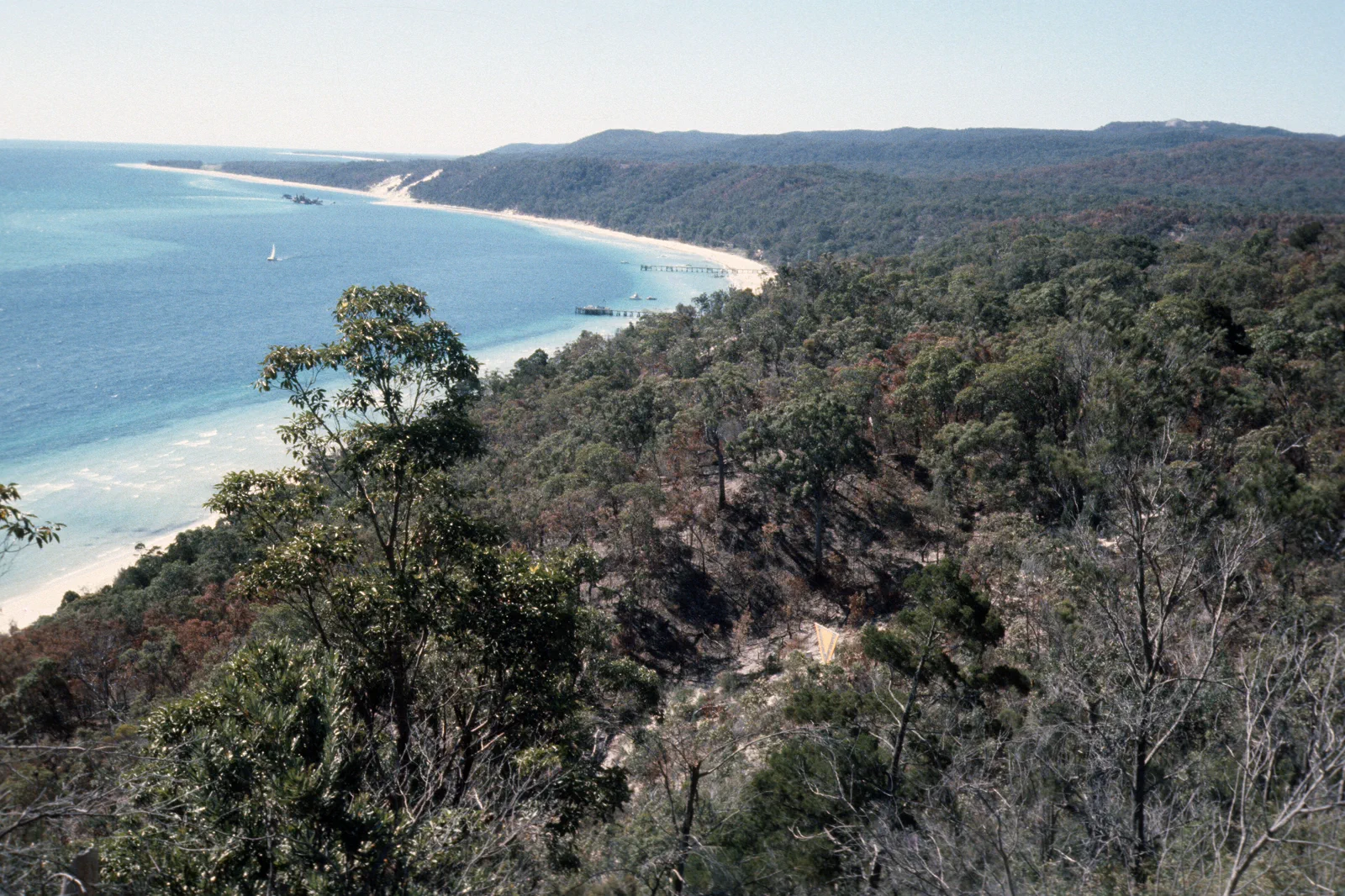
Mulgumpin / Moreton Island
A sand-island expedition requiring a named ferry or licensed tour, capable vehicle planning, camping controls…
Open the field guide →Minjerribah / North Stradbroke Island FAQ
Is Minjerribah practical as a day trip?
It can work only when the specific passenger ferry, connecting island bus and return ferry line up with enough time for one headland or beach visit. Two nights make the island less dependent on a tight same-day chain.
Where should I stay?
Point Lookout suits a walk-focused visit if your accommodation and bus stop connect to the places you plan to see. Dunwich is closer to the ferry landing and makes a calmer arrival base. Verify the exact address, bus stop and return service before booking.
Do I need a car?
Not necessarily: the local bus links Dunwich with Point Lookout and Amity Point, but it is a separate operator and schedule. A car can widen the plan only if you book the correct vehicle ferry and follow park-road rules.
What should I check before leaving?
Confirm the Cleveland terminal and ferry type, current island-bus timetable, beach patrol and access, Queensland Parks alerts, cultural guidance from Quandamooka organizations, and the marine and weather forecast.
Official sources and photo credits
Route and access facts were checked on 12 October 2026. Photo source pages and displayed license credits are documented separately from route research; this is not an independent rights clearance. Access, weather, transport, fire, marine and operator conditions change; verify directly before travel.
- Tourism Australia — Brisbane.
- Brisbane Economic Development Agency — visitor guide.
- Translink Queensland — service planning and alerts.
- SeaLink — Cleveland ferry, passenger and vehicle information.
- Stradbroke Island Buses — island routes and current timetable.
- Quandamooka Yoolooburrabee Aboriginal Corporation — Country and cultural guidance.
- Bureau of Meteorology — Point Lookout forecast.
- Queensland Parks — Minjerribah protected areas.
- Queensland Parks — Gheebulum Kunungai (Moreton Island).
- Brisbane River and skyline from South Bank Brisbane IMGP6207.jpg — John Robert McPherson, CC BY-SA 4.0. Resized, display-cropped and converted to WebP; no other material edits.
- Norman Park seen across Brisbane River from New Farm, Queensland.jpg — Kgbo, CC BY-SA 4.0. Resized, display-cropped and converted to WebP; no other material edits.
- Queensland Art Gallery, Brisbane river facade.jpg — Kgbo, CC BY-SA 4.0. Resized, display-cropped and converted to WebP; no other material edits.
- View of Main Beach from Point Lookout (North Stradbroke Island).JPG — S. Newrick, CC BY-SA 4.0. Resized, display-cropped and converted to WebP; no other material edits.
- Tangalooma beach, Mulgumpin, (Moreton Island) mid-1970s QUT-484.jpg — Iraphne R. Childs, CC BY 4.0. Resized, display-cropped and converted to WebP; no other material edits.