Hangzhou use West Lake as a compass
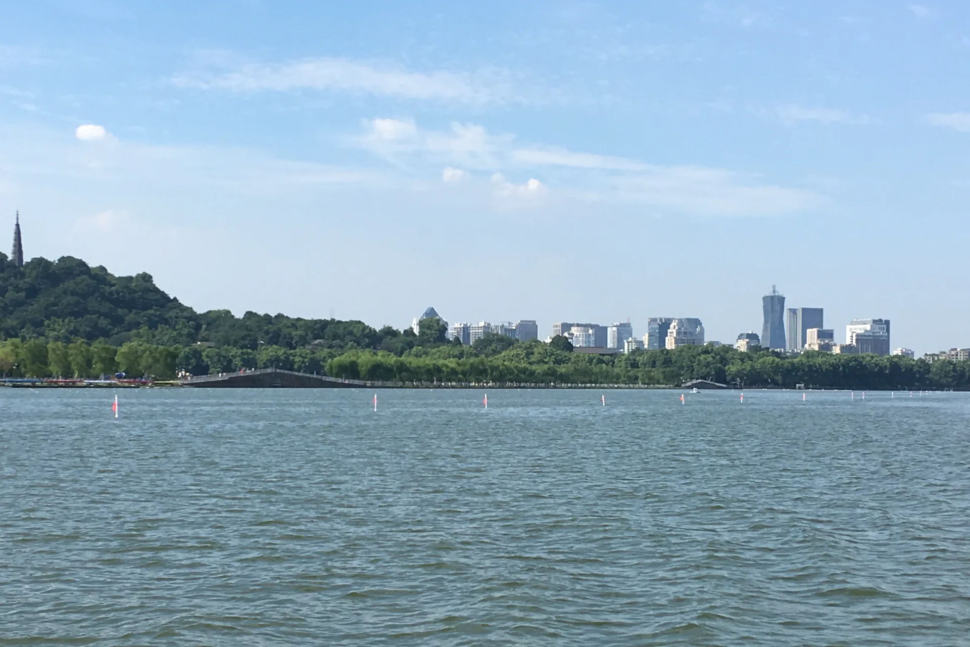
West Lake is not a single attraction at the center of a checklist. It is a cultural landscape with distinct shores, wooded hills and deliberate views. Read those edges first, then give the canal, wetland, tea villages and Liangzhu the separate time their scale requires.
Orient by shore before booking by district
The lake is roughly fifteen kilometers around, while major chapters continue well beyond it. A hotel that looks “near West Lake” may still sit on the wrong edge for your first two mornings.
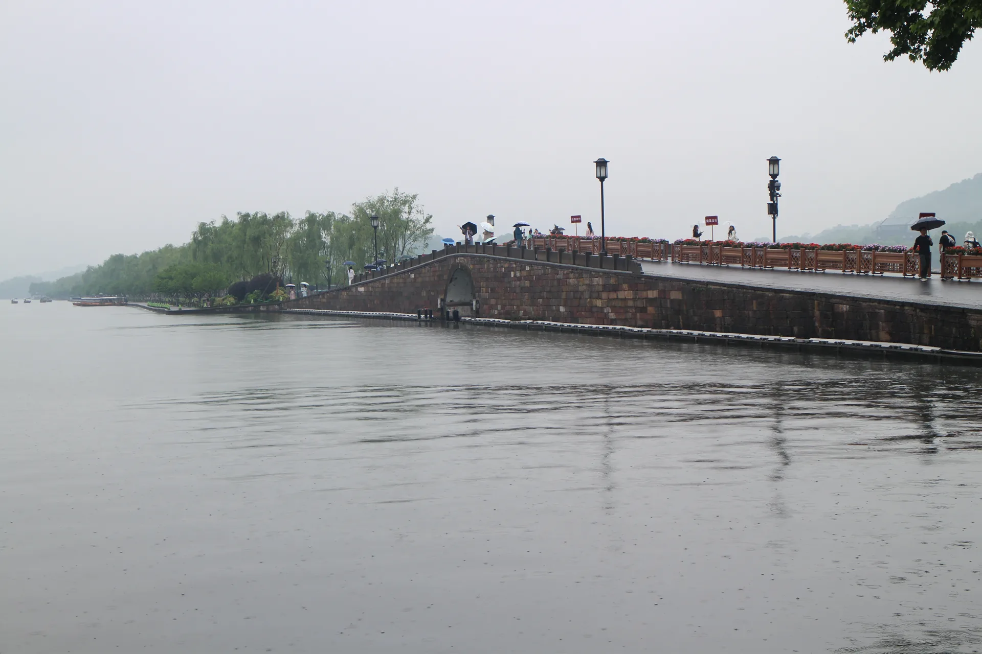
Broken Bridge to Gushan
Early light, Bai Causeway, museums and historic Beishan Road form a walkable sequence that becomes crowded later.
Lingyin and Longjing
Temple gates, tea slopes and trail weather need a dedicated westward day rather than a detour from the eastern waterfront.
Hubin and metro access
The urban shore is efficient for arrivals, food and evening views, but it is only one face of the landscape.
Leifeng and Nanping
Sunset, pagoda queues, museums and garden walks compete for the same late-day window.
Choose one picture at a time
Causeway, hill, temple, garden and skyline views are composed from different positions.
Let each landscape set the page
The chapters below are complete decision guides, not duplicated attraction cards. Each uses a different planning instrument suited to its actual movement, evidence and time constraints.
West Lake North & Broken Bridge
Link Hubin, Broken Bridge, Bai Causeway and Gushan without turning the north shore into a race.
Walk the causeway →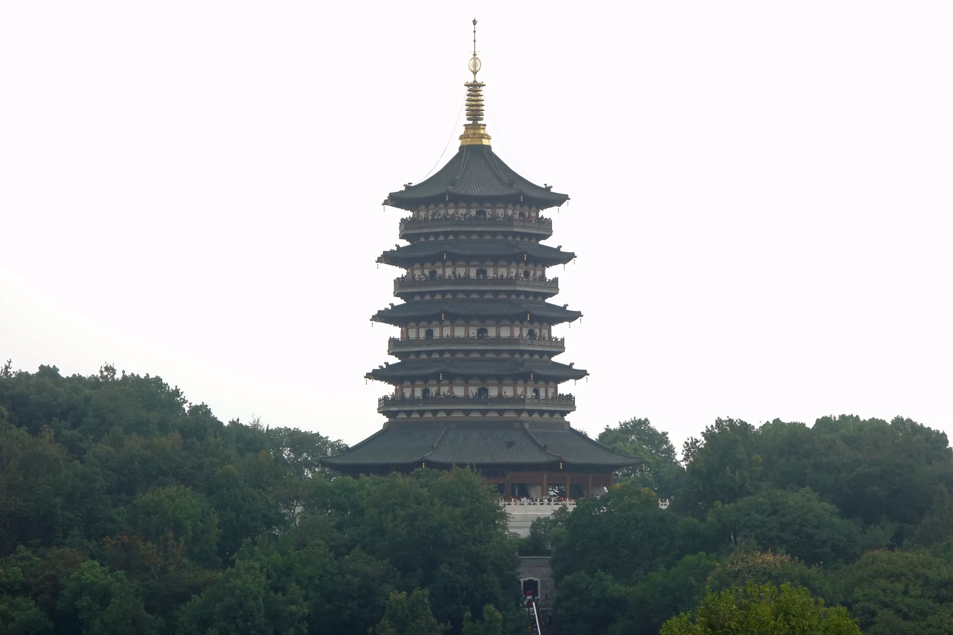
West Lake South & Leifeng
Choose lake-level composition, tower entry and the evening return before the sunset crowd closes in.
Frame the south shore →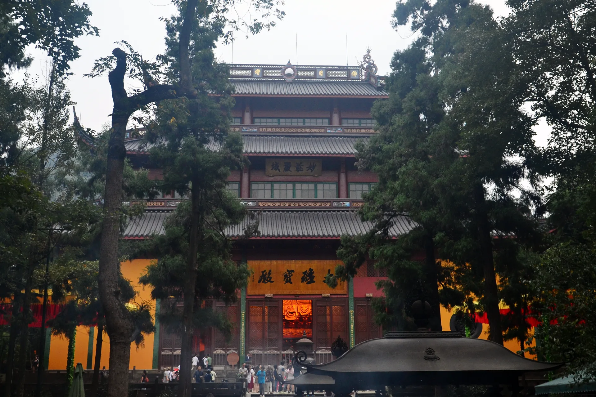
Lingyin & Feilai Peak
Separate scenic-area access, grottoes, active worship and mountain-side travel etiquette.
Cross each threshold →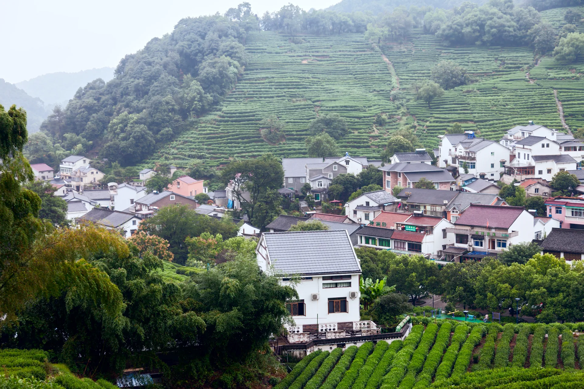
Longjing & Nine Creeks
Match tea landscape, museum context and trail surface to weather instead of buying a generic village tour.
Read the contours →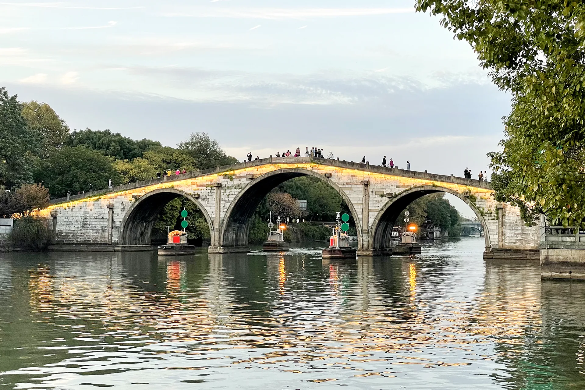
Grand Canal & Gongchen Bridge
Read a working waterway through bridge, warehouses, craft museums and lived-in canal streets.
Open the manifest →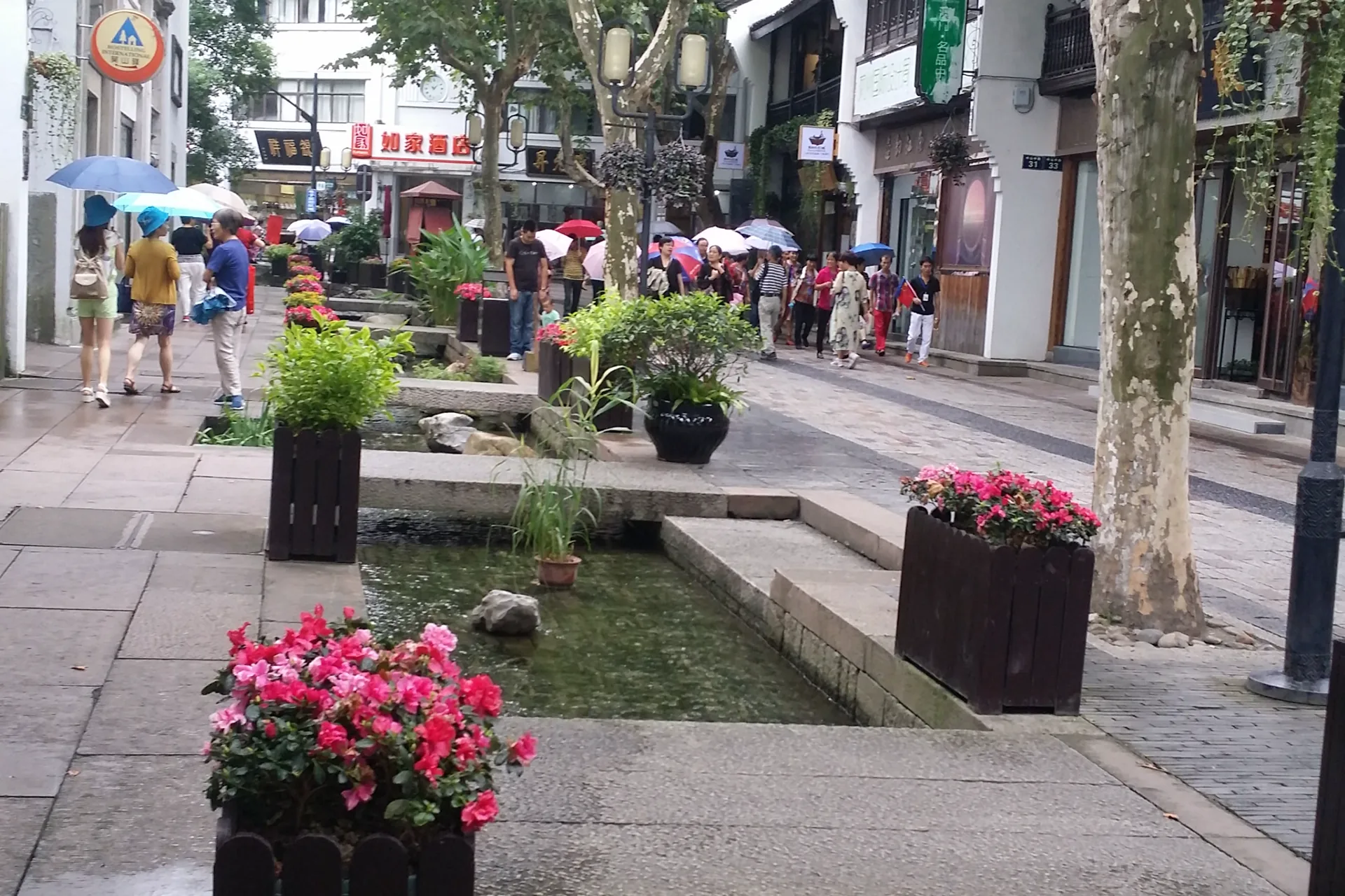
Hefang & Southern Song Street
Distinguish preserved businesses, reconstructed atmosphere and actual urban history block by block.
Read the shopfronts →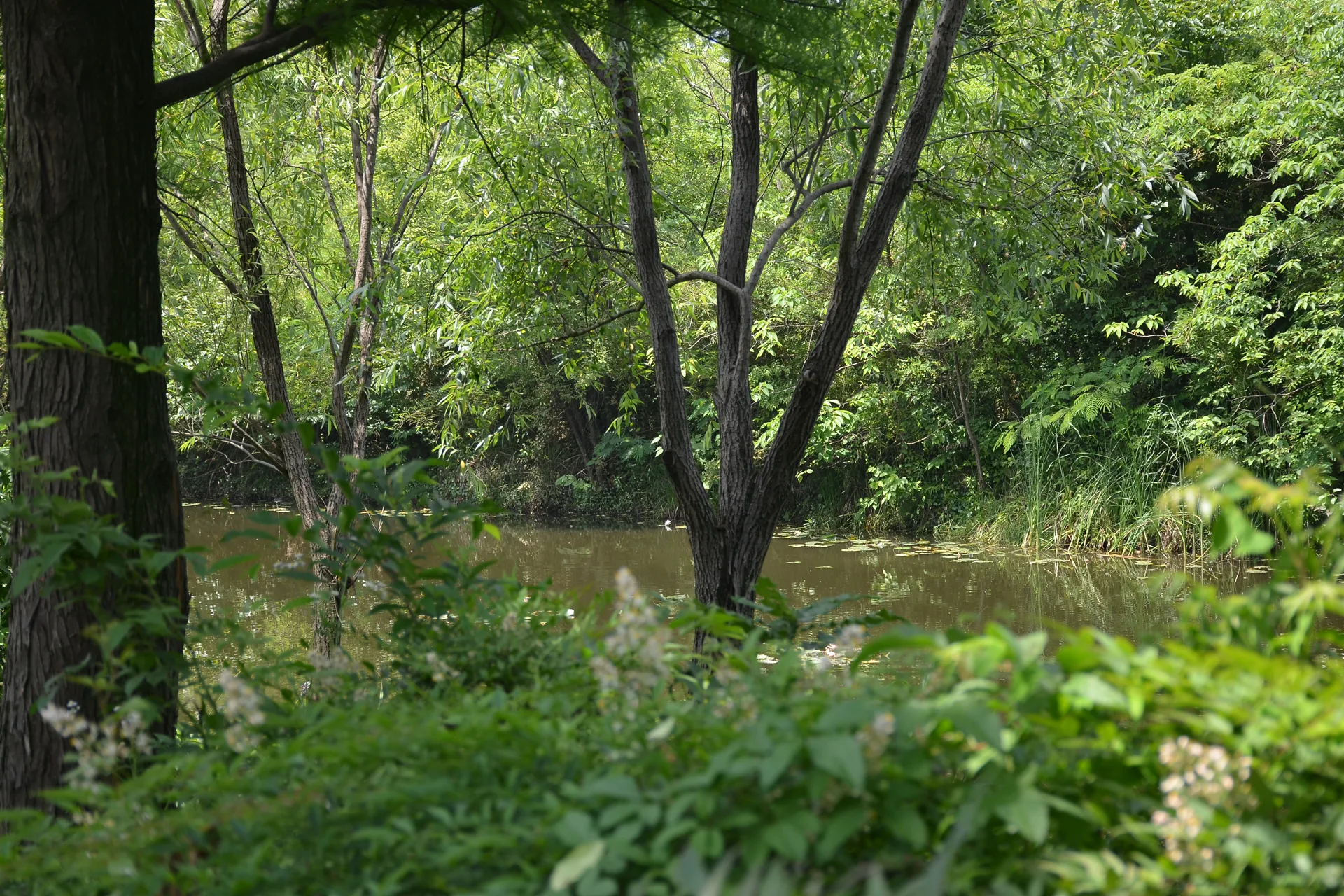
Xixi National Wetland
Select the correct entrance, walking loop and boat role while protecting a real wetland from checklist behavior.
Choose a channel →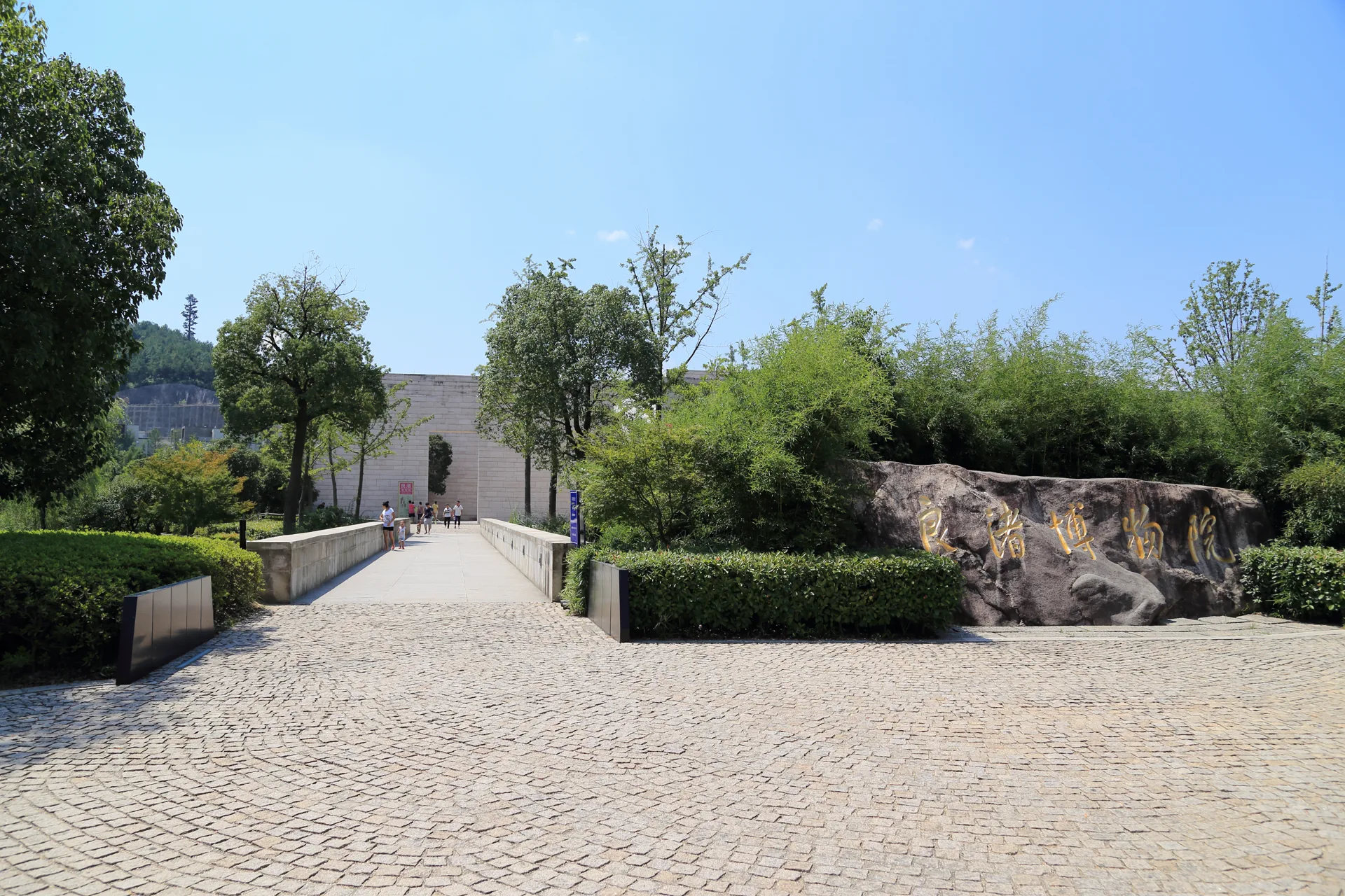
Liangzhu Archaeological City
Connect museum objects, earthen city, water management and travel distance as one evidence-led outer day.
Read the strata →Name the terminal and station before the lake
Hangzhou has an international airport and several railway stations. The correct arrival is the one that leaves a clear final metro, taxi or walking chain to the actual hotel door.
Metro, taxi or coach
The airport's ground transport center connects multiple modes. Check terminal, operating hours and the final transfer instead of assuming every airport train reaches the lakeshore directly.
Major high-speed rail hub
Useful for many Shanghai and national services, with a large station complex. Keep the correct arrival level, metro line and exit visible offline.
Different corridors, different city edges
Hangzhou station can favor the historic core; Hangzhou West serves western corridors. Never shorten either name to “Hangzhou” in a transfer plan.
A lake-facing address is not automatically a useful base
Compare the exact metro entrance, road crossings and the morning direction of your first three days.
Hubin and east shore
Strong for first arrivals, restaurants, metro access and evening lake views. Expect the busiest pedestrian edge and longer west-hill transfers.
Wulin and north city
A practical urban base for transport and the Grand Canal direction. Check whether “West Lake” marketing hides a long walk to the water.
Huanglong and northwest
Useful when Lingyin, Longjing or Xixi dominate the plan. Hotel quality matters less than the precise bus, taxi and evening-return chain.
Do not circle the lake every day
Keep each day geographically coherent and leave visibility, rain and crowd-sensitive choices flexible.
North shore sequence
Begin before the main crowd at Hubin or Broken Bridge, cross Bai Causeway, slow down at Gushan and finish along Beishan without forcing a full loop.
Western hills
Choose Lingyin and Feilai Peak as the cultural anchor, then add only one nearby hill or tea chapter that weather and energy can support.
South shore aperture
Use museums, garden paths or Su Causeway in daylight, then reserve one intentional Leifeng or lake-level sunset composition.
One outer contrast
Select the Grand Canal for urban heritage, Xixi for wetland ecology or Liangzhu for archaeological evidence. Each deserves most of a day.
Prepare the friction that postcard maps hide
The metro reaches the edges
Metro stations help with the urban shore, airport and rail hubs, but many western-hill and lakeside trips still require a bus, taxi or substantial walk. Save the Chinese destination name.
Rain changes trail value
Mist can improve the lake while making stone steps, tea paths and wetland boardwalks slippery. Carry a flexible indoor anchor and avoid rigid sunset promises.
Use more than one payment route
Prepare a supported mobile-payment or card option plus RMB cash. Test transport and attraction payments early, and keep passport requirements visible for bookings.
Hangzhou planning FAQ
How many days should I allow?
Three full days support two lake-shore chapters and one western or outer contrast. Four or five days let the canal, Xixi or Liangzhu stand on its own instead of becoming a rushed add-on.
Should I make Hangzhou a day trip from Shanghai?
A high-speed rail day trip can work for one coherent West Lake sequence. Stay overnight if you want early causeways, evening lake light, Lingyin, tea country or any outer district.
Is the entire West Lake scenic area free?
The open lakeside landscape and many paths do not share one admission, but temples, pagodas, museums, boats and specific attractions may have separate tickets, reservations or closure days. Verify each operator.
Can I combine Lingyin, Longjing and Xixi in one day?
They look close on a regional map but involve different entrances, traffic and walking scales. Choose one major anchor and one compatible secondary stop rather than compressing all three.
Official sources and photo credits
Planning facts and licenses were reviewed on 28 August 2026. Airport services, metro operations, rail schedules, reservations, boat service and attraction access change; verify the current operator before travel. Images were resized, center-cropped where needed and converted to 1920 × 1280 WebP files; no other material changes were made.
- UNESCO World Heritage Centre — West Lake Cultural Landscape of Hangzhou.
- Hangzhou Municipal Government — West Lake orientation and landscape scale.
- Hangzhou Xiaoshan International Airport — official ground-transport guidance.
- China Railway 12306 — official ticket and passport guidance.
- UNESCO World Heritage Centre — The Grand Canal.
- UNESCO World Heritage Centre — Archaeological Ruins of Liangzhu City.
- West Lake and Hangzhou panorama — Bjoertvedt, CC BY-SA 4.0.
- Broken Bridge — Suicasmo, CC0 1.0.
- Leifeng Pagoda — Tyg728, CC BY-SA 4.0.
- Lingyin Temple — Tyg728, CC BY-SA 4.0.
- Longjing tea village — Niklas Dougherty, CC BY-SA 4.0.
- Gongchen Bridge — Windmemories, CC BY-SA 4.0.
- Hefang Street — Jason M. C., Han, CC BY-SA 4.0.
- Xixi National Wetland Park — shankar s., CC BY 2.0.
- Liangzhu Museum — Zhangzhugang, CC BY-SA 4.0.